The Californian High Sierra, July - August 2008
Trip 2 - Mt Whitney Region
All content copyright © Ashley Burke 2008. Not to be copied, duplicated or used for any purpose without permission.
The Californian High Sierra, July - August 2008 Trip 2 - Mt Whitney Region
All content copyright © Ashley Burke 2008. Not to be copied, duplicated or used for any purpose without permission. |
2 |
6 Aug - 12 Aug 2008
Here are some photos from the second of three Sierra treks. For more information see my Sierra Nevada page.
Trip 2 Route
| Day 1 | 6 Aug 2008 | Start walk at Onion Valley. Climb Kearsarge Pass and then to John Muir Trail (JMT). Camp in upper Bubbs Creek. |
| Day 2 | 7 Aug 2008 | Continue on JMT over Forester Pass, thence onto Upper Kern Loop Trail to Lake South America. |
| Day 3 | 8 Aug 2008 | Follow Kern Cutoff Trail to JMT, Climb Tawny Point, Camp near Wright Lakes. |
| Day 4 | 9 Aug 2008 | Follow JMT to Guitar Lake. |
| Day 5 | 10 Aug 2008 | Climb Mt Whitney, then Discovery Pass, Crabtree Pass then on to Sky Blue Lake in the Mitre Basin. |
| Day 6 | 11 Aug 2008 | Mitre Basin, Soldier Lakes, Climb Mt Langley, then New Army Pass. Camp at Long Lake. |
| Day 7 | 12 Aug 2008 | Follow the Cottonwood Lakes trail and exit at the Cottonwood Lakes trailhead. |
Trip 2 Maps
| Map Series | Maps used |
| Tom Harrison 1:63 360 topo map series | Mt Whitney High Country Trail Map, Kings Canyon High Country Trail Map. Note: The Kings Canyon High Country map was only needed on Day 1. |
| USGS 1:24 000 topographic map series | Mount Whitney. Note: The 1:24 000 topographic maps are largely unnecessary for this trip as much of the walking is on trails. The Mount Whitney sheet is useful for Day 5 and 6 but not really needed. |
Trip 2 Photos
| Day 1: Golden-mantled ground squirrel on top of Kearsarge Pass. | ||
| Day 1: Yellow bellied marmot. | ||
| Day 1: Bullfrog Lake | ||
| Day 1: Campsite on John Muir Trail below Center Peak. | ||
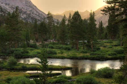 |
Day 1: View from campsite on John Muir Trail below Center Peak. | |
| Day 2: View from Forester Pass. | ||
| Day 2: The John Muir Trail on the south side of Forester Pass. | ||
| Rock Fringe (Epilobium obcordatum) | ||
| Day 2: Afternoon clouds, en route to Lake South America. | ||
| Mountain Pride (Penstemon newberryi) | ||
| Day 2: A friendly park ranger whom we met at Lake South America caught us this golden trout for dinner. | ||
| Day 2: Evening scenery around Lake South America, Kings Canyon NP. | ||
| Day 2: Evening scenery around Lake South America, Kings Canyon NP. | ||
| Day 2: Evening scenery around Lake South America, Kings Canyon NP. | ||
Day 2: Day 2: Evening scenery around Lake South America, Kings Canyon NP. In this photo is the summit of Mt Whitney bathed in a pink glow. |
| Day 2: Evening scenery around Lake South America, Kings Canyon NP. | ||
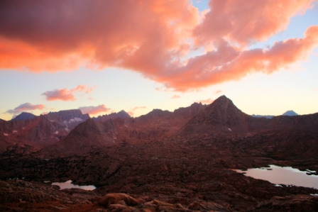 |
Day 2: Evening scenery around Lake South America, Kings Canyon NP. | |
| Day 2: Evening scenery around Lake South America, Kings Canyon NP. | ||
| Day 3: Views on the upper Kern cutoff trail. | ||
| Day 3: Kendy fetching water for our camp, Wright Lakes. | ||
| Day 3: Evening views, Wright Lakes | ||
| Day 3: Evening views, Wright Lakes | ||
| Day 3: Evening light on Mt Whitney from Wright Lakes. | ||
| Day 3: Evening views, Wright Lakes |
| Day 3: Evening views, Wright Lakes | ||
| Day 3: Evening views, Wright Lakes | ||
| Day 3: Evening views, Wright Lakes | ||
| Day 3: Evening sky, Wright Lakes | ||
| Day 4: Tarn near our campsite above Guitar Lake | ||
| Day 4: Tarn near our campsite above Guitar Lake. | ||
| Day 4: Evening views from near Guitar Lake, Kings Canyon NP. | ||
| Day 4: Evening views from near Guitar Lake, Kings Canyon NP. | ||
| Day 4: Evening views from near Guitar Lake, Kings Canyon NP. | ||
| Day 4: Evening views from near Guitar Lake, Kings Canyon NP. | ||
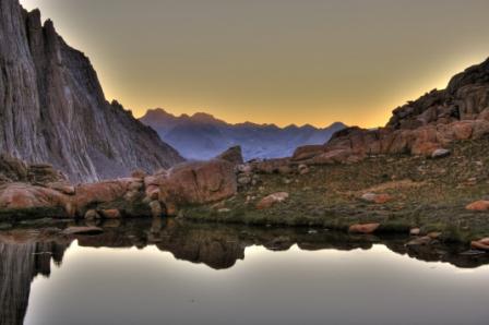 |
Day 4: Evening views from near Guitar Lake, Kings Canyon NP. | |
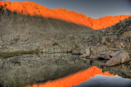 |
Day 4: Evening views from near Guitar Lake, Kings Canyon NP. | |
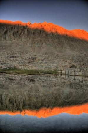 |
Day 4: Evening views from near Guitar Lake, Kings Canyon NP. | |
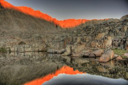 |
Day 4: Evening views from near Guitar Lake, Kings Canyon NP. | |
| Day 4: Evening views from near Guitar Lake, Kings Canyon NP. | ||
| Day 4: Evening views from near Guitar Lake, Kings Canyon NP. | ||
| Day 5: Climbing Mt Whitney. | ||
| Day 5: Summit views from Mt Whitney. | ||
| Day 5: The summit of Mt Whitney is home to a resident marmot. | ||
| Day 5: On the summit of Mt Whitney. | ||
| Day 5: Sky Blue Lake, Mitre Basin. | ||
| Day 5: Sky Blue Lake, Mitre Basin. | ||
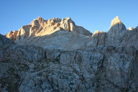 |
Day 5: Evening views around Sky Blue Lake, Mitre Basin. | |
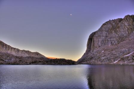 |
Day 5: Evening views around Sky Blue Lake, Mitre Basin. | |
| Day 5: Evening views around Sky Blue Lake, Mitre Basin. | ||
| Day 5: Evening views around Sky Blue Lake, Mitre Basin. | ||
| Day 5: The moon. Just before dark. | ||
| Day 6: Mitre Basin. | ||
| Day 6: Dead trees above Mitre Basin. | ||
| Day 6: On the summit of Mt Langley. | ||
| Day 6: Long Lake, Cottonwood Lakes. | ||
| Day 6: Long Lake, Cottonwood Lakes. | ||
| Day 6: Long Lake, Cottonwood Lakes. | ||
| Day 6: Long Lake, Cottonwood Lakes. | ||
| Day 6: Evening light on Long Lake, Cottonwood Lakes. |
Web page created 22 Sep 2008, last updated 22 Sep 2008. All content copyright © Ashley Burke 2008. Not to be copied, duplicated or used for any purpose without permission. |