Trekking in the Rila Mountains of Bulgaria
Jun 2013
All content copyright © Ashley Burke 2013. Not to be copied, duplicated or used for any purpose without permission.
Trekking in the Rila Mountains of Bulgaria Jun 2013
All content copyright © Ashley Burke 2013. Not to be copied, duplicated or used for any purpose without permission. |
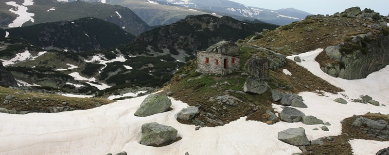
A welcome smal shelter in the heart of the Rila Mountains
Contents
Bulgaria is home to the highest peaks in the Balkans and some of the most unspoiled trekking in Europe. The Rila and Pirin mountains to the south of Sofia are the most mountainous parts of Bulgaria and offer the most extensive trekking opportunities in the country. I was there in June 2013 which unfortunately was too early in the trekking season for what we aimed to do. Many trails and mountain passes were still covered in snow and many of the mountain huts were still not open. Nevertheless we managed a 6-7 day trek in the area and were able to enjoy the remarkable scenery and had the mountains pretty much to ourselves.
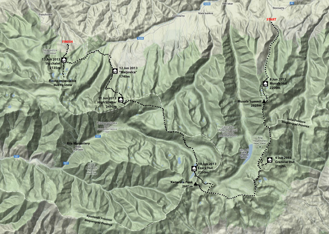
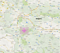
| Regional Map | Detailed Map of Trekking Route |
 |
|
Here is what happened day by day. The links will take you to the relevant photos.
| Date | Comments | Accommodation |
| 8 Jun 2013 | Transfer from Sofia to Borovets where the walk started. Climbed slowly up a forest road until we reached the tree line at about 2200m for lunch. Continued up to the Musala Hut (2389m) where we spent the night. Accommodation was nice but the food pretty basic. | Musala Hut, 2389m. |
| 9 Jun 2013 | A good day, climbed to summit of Musala, highest peak in the Balkans at 2925m. A fairly long walk from there following broad ridge lines in mixed weather to finally reach the Grǎničar Hut which had opened especially for our visit. Pleasant setting for the hut by a lake. | Grǎničar Hut, 2187m. |
| 10 Jun 2013 | A good day of high ridge walking. snowdrifts everywhere. Side trip to summit of Kanarata, 2681m from where we could see our hut for the night. But the route to the hut could not be taken directly due to steep snow and a long detour was needed into another valley then over a pass and down steep zig zags and traversing snow slopes to eventually reach the hut just before a rain deluge at about 7:30pm. | Ribni Ezere Hut, 2250m. |
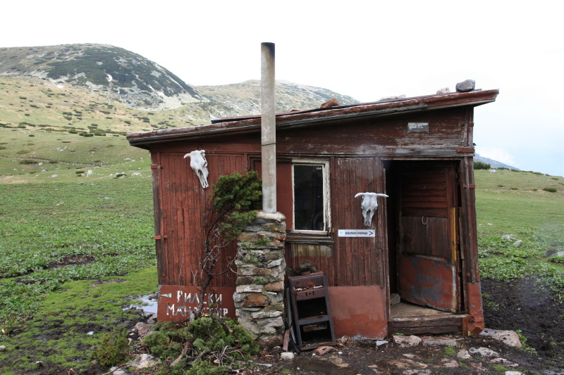
| 11 Jun 2013 | Some wild and bad weather and some challenging terrain. The morning was fine, we headed downstream and crossed a pleasant meadow. Climbed onto a ridge, weather worsened, lunch in a small wooden hut in a boggy farmland saddle. Then climbed into rugged terrain in worsening weather. Eventually found a small shelter perched on a rock in spectacular surroundings. No fuel or wood for cooking. Very basic hut. | Small shelter, 2495m. |
| 12 Jun 2013 | Soft lighting in morning, headed downward past several small lakes with snow around them. Entered a forested valley, reached a road and followed it down to a ski centre at the edge of the national park. Dense fog. | Komplex Maljovica, 1740m. |
| 13 Jun 2013 | Poor weather and heavy cloud. Low level forest route had to be taken. Climbed to a rather sterile ski chalet at 2135m surrounded by dense cloud. | Rilski Ezera, 2135m. |
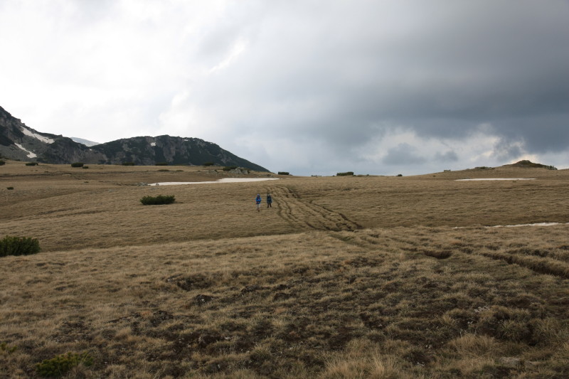
| 14 Jun 2013 | Set off in dense fog towards Rila Lakes, aiming for a high pass. But this was covered in snow and impassable in the conditions. Decision was taken to abandon the trip and retreat to lower altitudes. Organised transport to Rila Monastery and then back to Sofia. | Hotel Zdravetc, Sofia. |
Here are a few photos of the trek.
 |
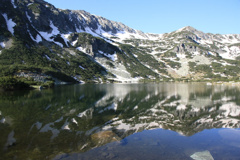
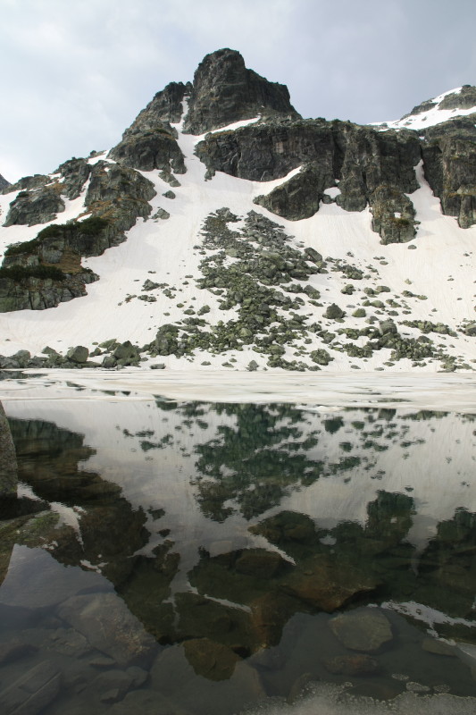
The lakes around Musala Hut, 2389m. |
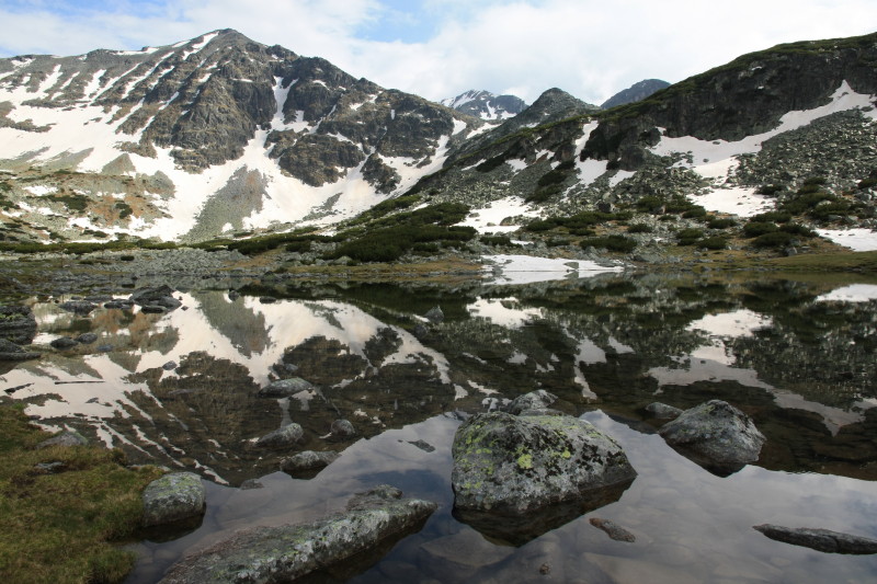 |
The lakes around Musala Hut, 2389m. |
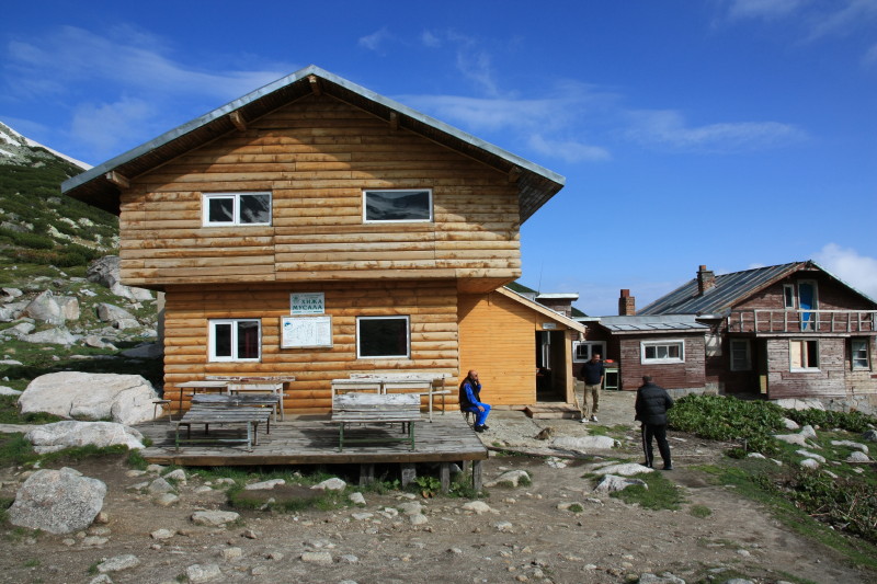 |
Musala Hut (2389m). |
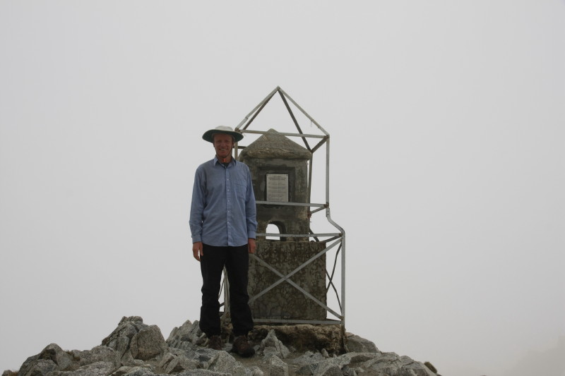 |
Musala summit, 2925m. |
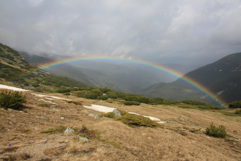 |
Rainbow as we descended toward Grǎničar Hut, 2187m. |
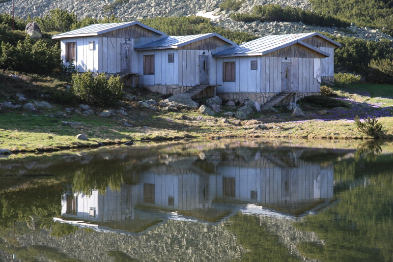 |
Cabins around Grǎničar Hut, 2187m. |
 |
The lake on which resides Grǎničar Hut, 2187m. |
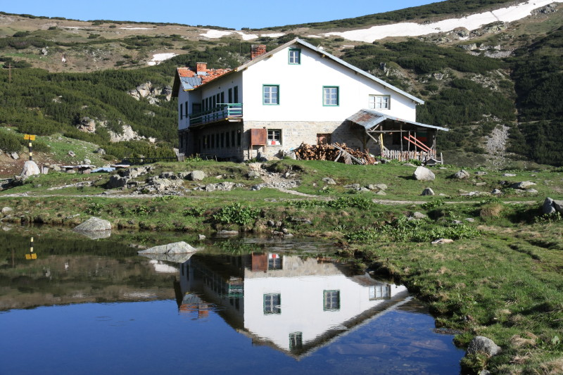 |
Grǎničar Hut, 2187m. |
 |
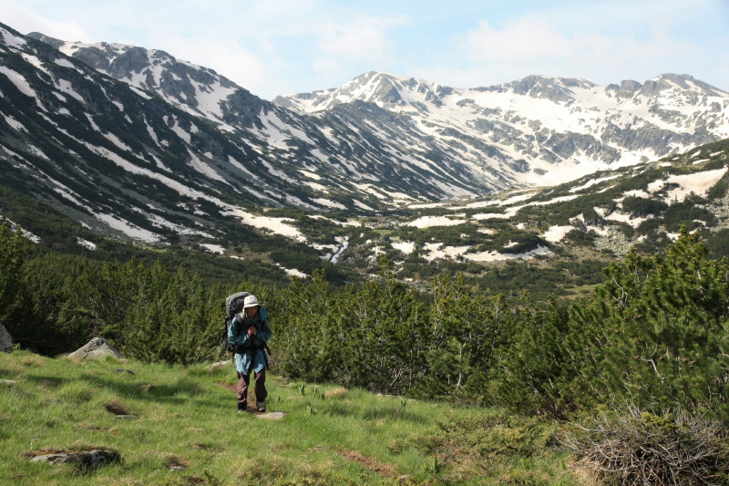
Trekking the broad ridge tops between Grǎničar Hut and Kanarata Peak. |
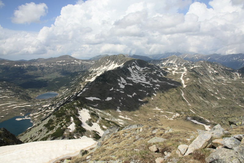 |
Impressive views from Kanarata Peak (2681m). |
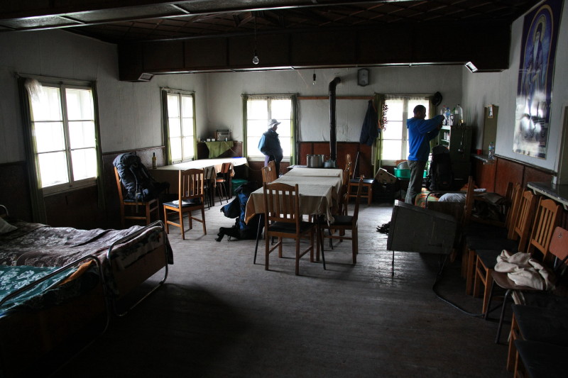 |
Inside Ezere Hut which we had all to ourselves - it had not yet opened for the season. |
 |
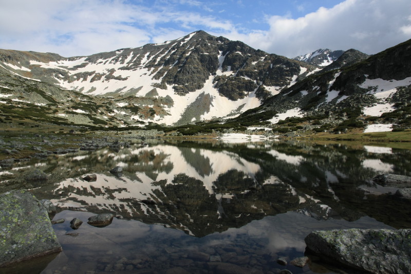
Ezere Hut is behind us at the head of the valley in this photo. We had crossed the snowy pass visible in this photo the day before. |
 |
A farmer's cabin in a broad saddle. |
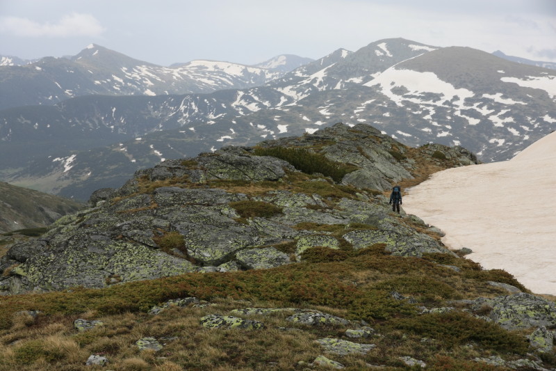 |
Worsening weather as we aim to reach a high mountain shelter. |
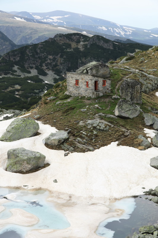 |
High mountain shelter in sight at last, 2495m. |
 |
After a cold wet night in the high mountain shelter the morning brought a few brief moments of weak sunshine. |
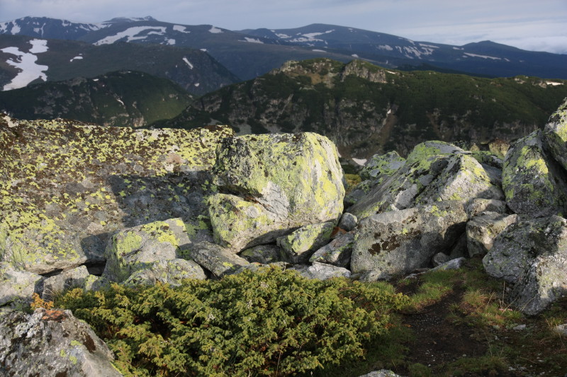 |
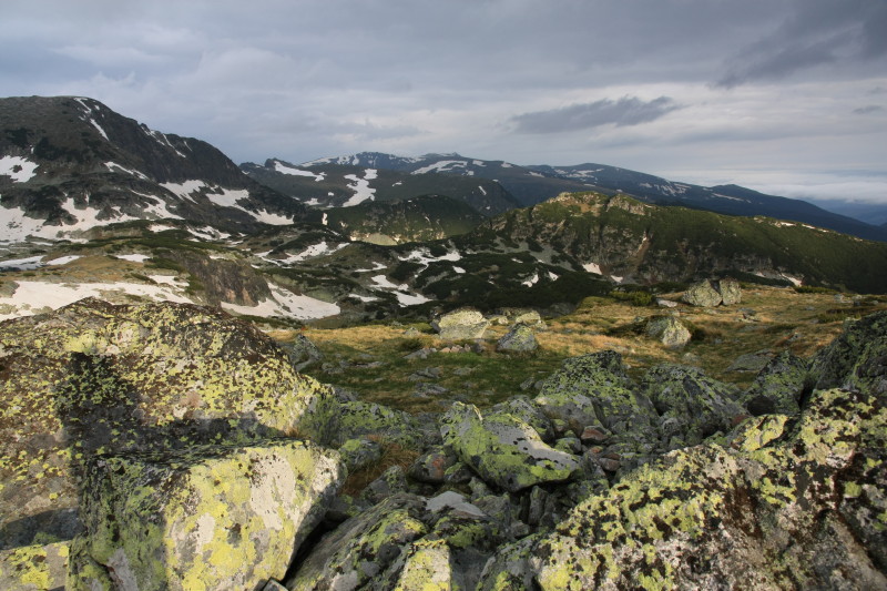
Views from near the mountain shelter. |
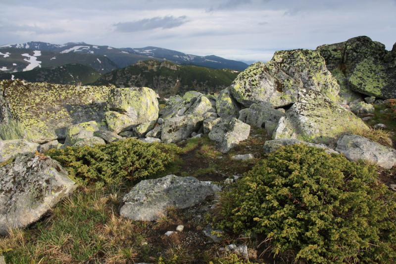 |
Views from near the mountain shelter. |
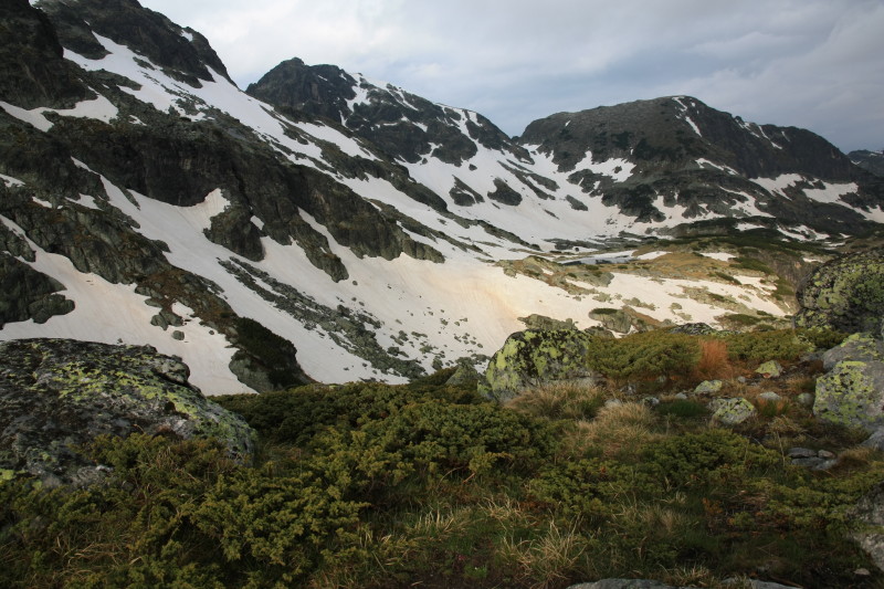 |
Views from near the mountain shelter. |
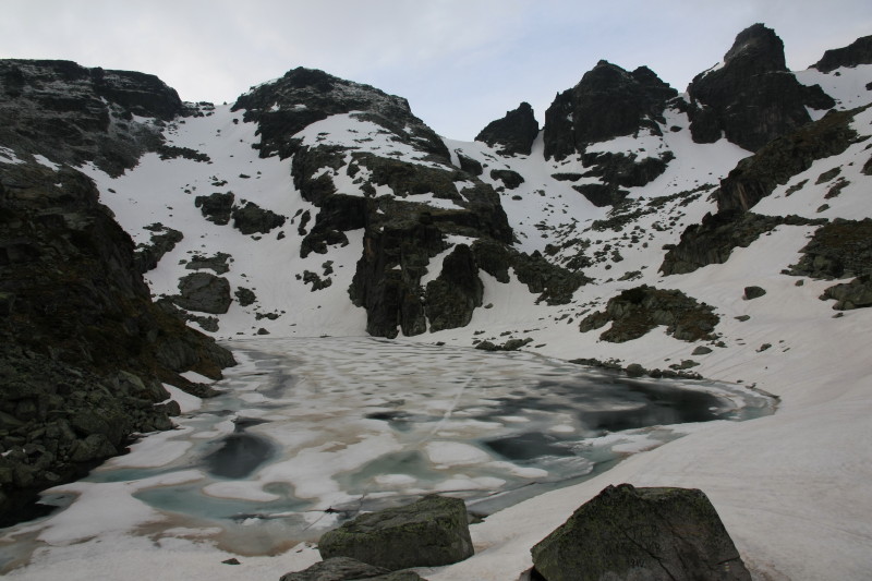 |
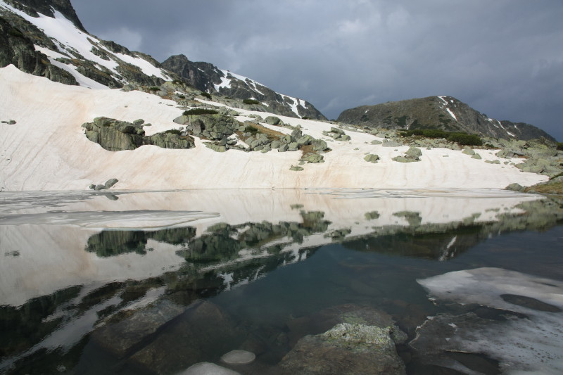
Semi-frozen lake near our mountain shelter, 2495m. |
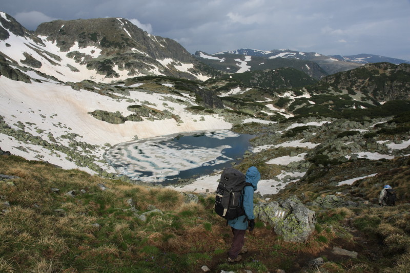 |
Descending past alpine lakes. |
 |
|
 |
|
 |
|
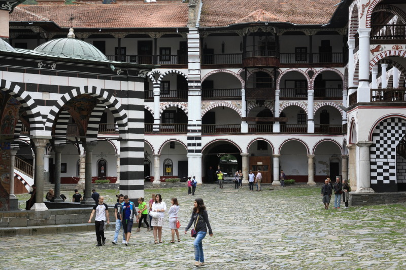 |
The amazing and beautiful Rila Monastery. |
All content copyright © Ashley Burke 2013. Not to be copied, duplicated or used for any purpose without permission. Page created 15 Oct 2013, last updated 15 Oct 2013. |