The Italian Dolomites - Alta Via 2
Stage 2
All content copyright © Ashley Burke 2010. Not to be copied, duplicated or used for any purpose without permission.
The Italian Dolomites - Alta Via 2 Stage 2
All content copyright © Ashley Burke 2010. Not to be copied, duplicated or used for any purpose without permission. |
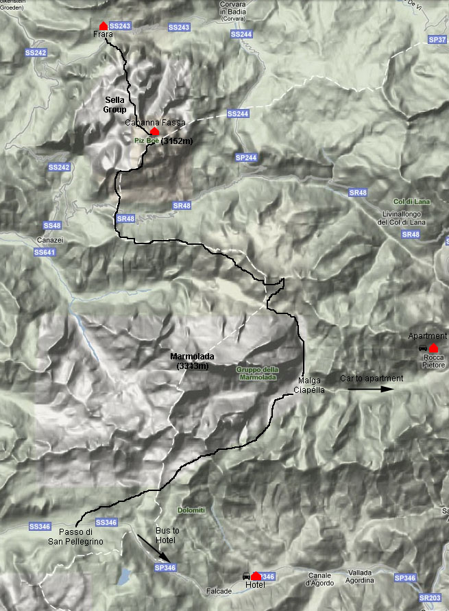
Map of AV2 Stage 2
Stage 2 - Grödner Joch to Passo di San Pelegrino
27 - 29 Jul 2010
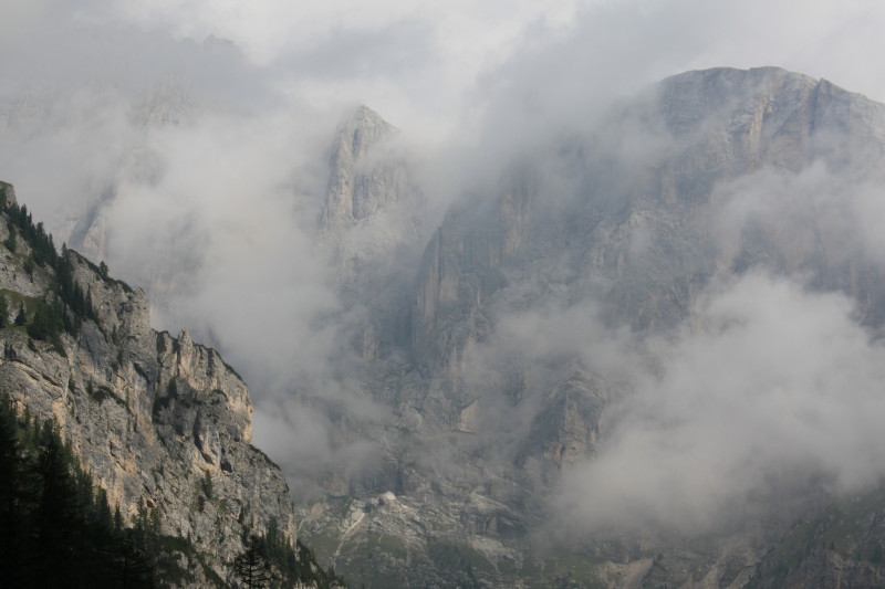
This stage took us 3 days. It passes through two major mountain groups of the Dolomites, the Sella Group and the Marmolada Massif. Unfortunately the Marmolada Massif is a formidable obstacle and the AV2 bypasses it completely with about 5km of walking along road 641. A variant from the main route does tackle the Marmolada Massif by crossing the Forcella de la Marmolada but this variant requires crampons. We did not have this equipment with us at this time so we took the standard AV2 route. However, later I returned to this area with all the required gear and tackled Marmolada itself via the Via Ferrata Marmolada and this I have written up on my via ferrata web page.
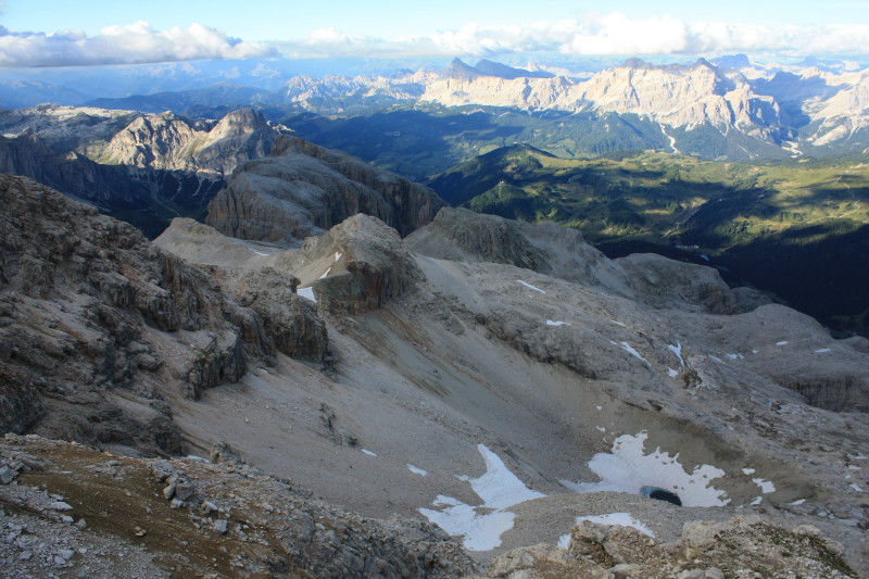
The highlight of this stage, then was the crossing of the Sella Group and the night spent in Capanna Fassa, a relatively small hut on the summit of Piz Boè (3152m). This is the highest peak in the Sella Group and the sunset and sunrise from here were superb.
For two of the 3 nights on this stage we stayed in accommodation some distance away from the walking night. When we reached Malga Ciapéla on the second day we were given a lift down to the village of Rocca Piétore Ròcia where we were able to buy basic supplies and stay in a nice little apartment. We were given a lift back to Malga Ciapéla the following morning. And when we reached Passo di San Pellegrino we took the bus down to Falcade and stayed in a hotel near the village of Caviola.
Here is our trip log for these 3 days:
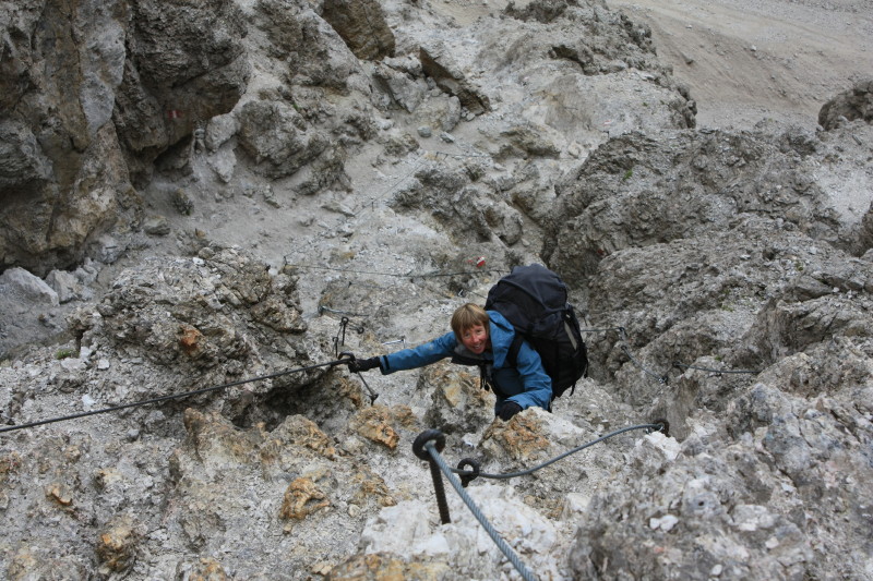
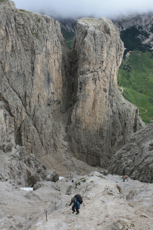
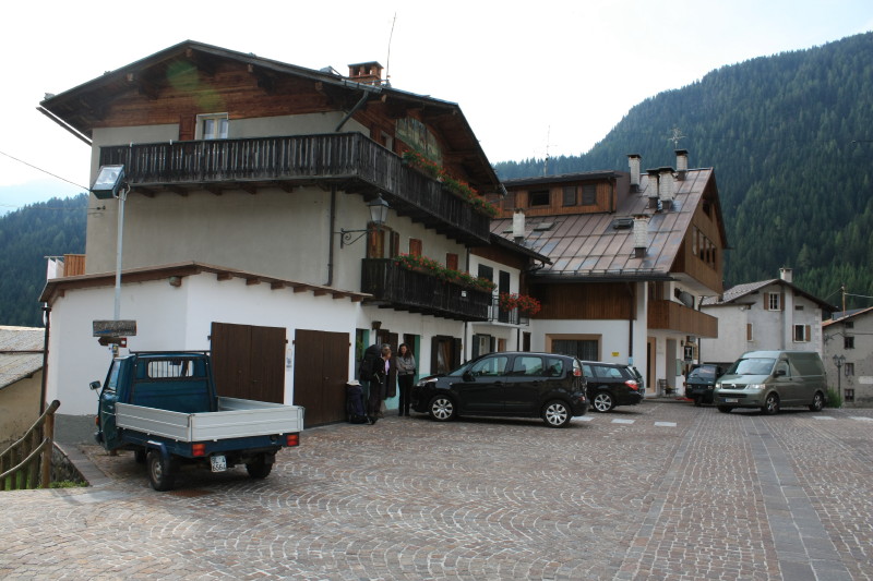
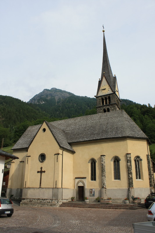
| 27 Jul 2010 | Heavily overcast, cold and raining. We set off from the Frara guesthouse with Monika, a German hiker we met that morning. We climbed into the spectacular Sella group, reaching an altitude of around 2900m where it started snowing. Some cabled sections. We reached Rifugio Boè (2873m) where we stopped for lunch. We decided to hike to the summit of Piz Boè (3152m) in the afternoon and stay at the hut on the summit. There was a spectacular sunset. |
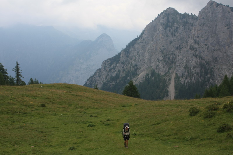
| 28 Jul 2010 | Beautiful sunrise from the summit of Piz Boè. A fine day, we descended to Passo Pordoi. Ridiculous throngs of people. We tried to avoid the crowds staying as high as possible on the ridgetops heading east above Lago di Fedaia. We then descended to Passo di Fedaia and walked down a ski run to Malga Ciapéla. The campground there was full but at the local store we met a lady who's mother had an apartment in a village a few kilometres down the road. We were driven to Rocca Piétore Ròcia and stayed in a lovely apartment in this beautiful little village. |
| 29 Jul 2010 | The lady drove us back to Malga Ciapéla and today the weather got worse again. We followed the AV2 around the Marmolada Massif and after sheltering for lunch at the rather fancy Rigugio Fuciade we eventually reached Passo di San Pellegrino in cold steady rain. We got the bus down to Falcade and found a hotel near the village of Caviola. Cold rain. |
Below are the photos from these 3 days.
 |
|
 |
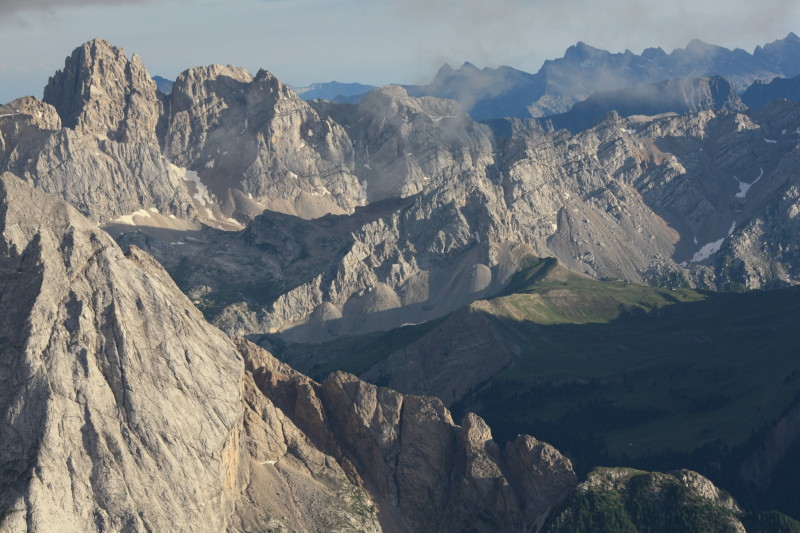
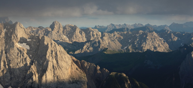
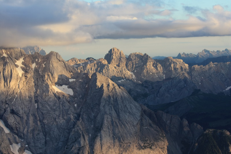
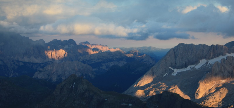
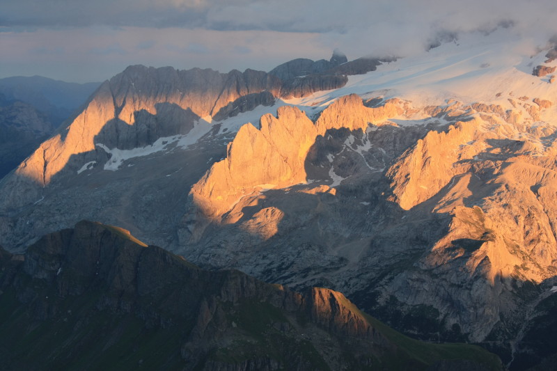
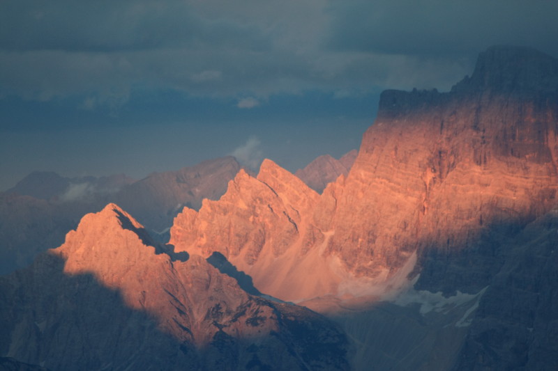
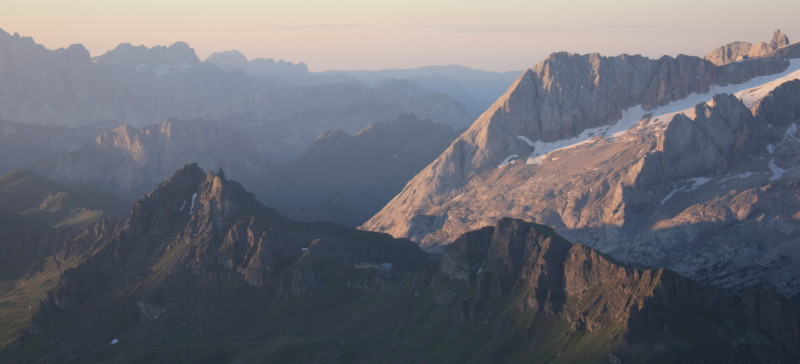
Sunset from Piz Boè summit (3152m) on 27 Jul 2010
The photos below were all taken from the summit of Piz Boè, just outside the hut Capanna Fassa.
 |
 |
 |
 |
 |
 |
 |
 |
 |
 |
 |
 |
 |
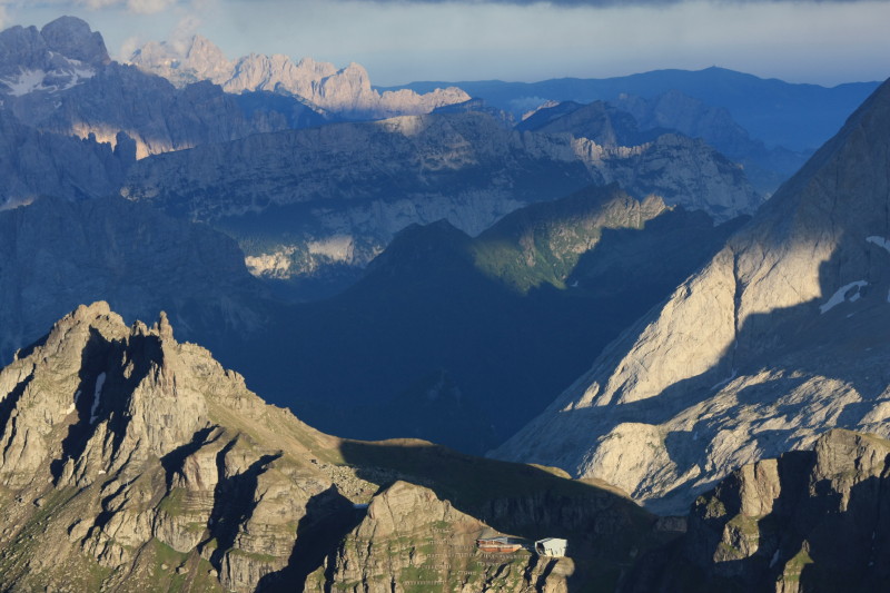
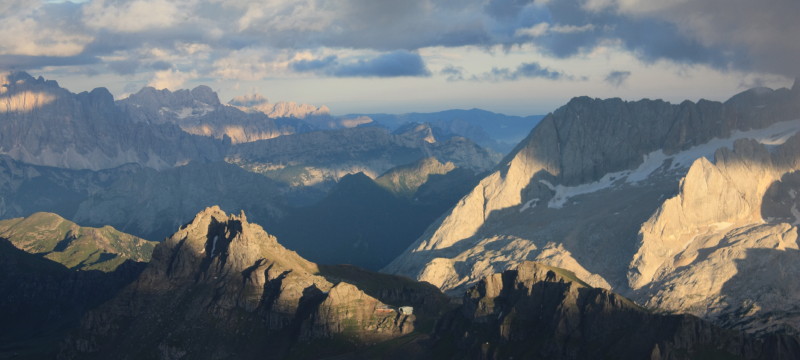
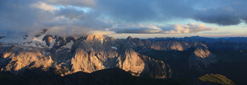
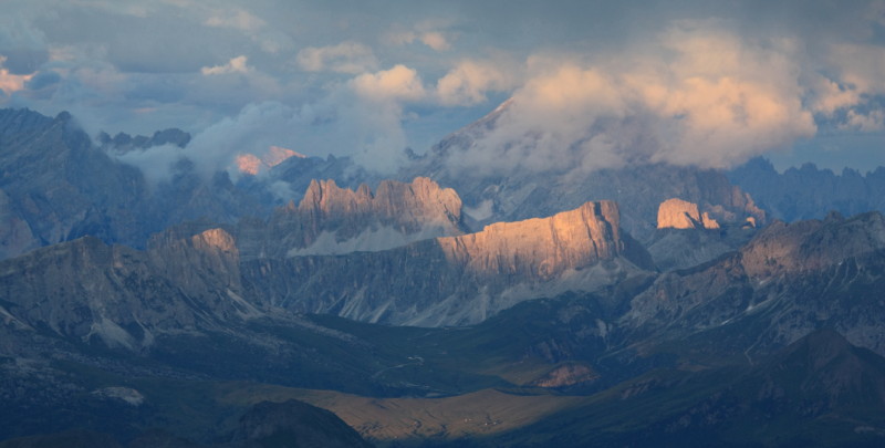
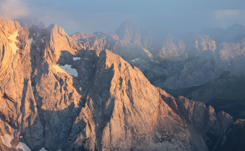
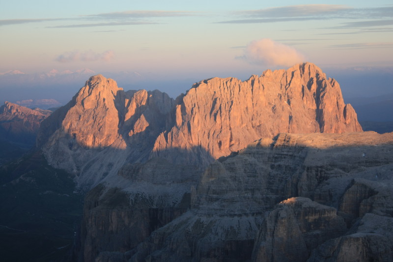
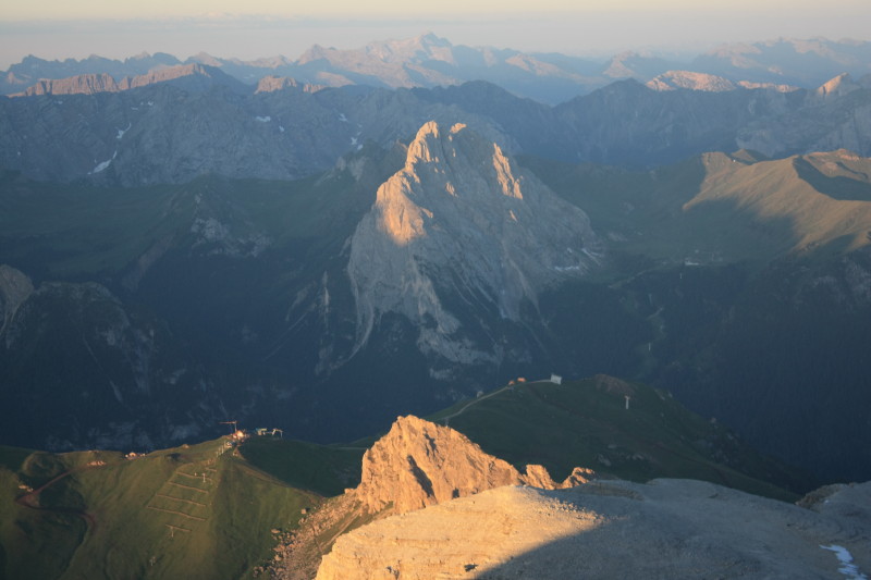
Sunrise from Piz Boè summit (3152m) on 28 Jul 2010
The photos below were all taken from the summit of Piz Boè, just outside the hut Capanna Fassa.
 |
 |
 |
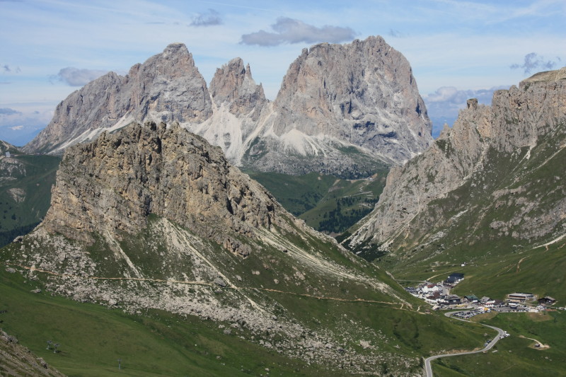
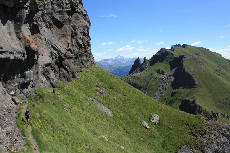
28-29 Jul 2010
 |
|
 |
|
 |
|
 |
|
 |
|
 |
All content copyright © Ashley Burke 2010. Not to be copied, duplicated or used for any purpose without permission. Page created 7 Oct 2010, last updated 14 Oct 2010. |