Eastern Turkey - Mt Ararat (5137m)
17 - 24 Aug 2010
All content copyright © Ashley Burke 2010. Not to be copied, duplicated or used for any purpose without permission.
Eastern Turkey - Mt Ararat (5137m) 17 - 24 Aug 2010
All content copyright © Ashley Burke 2010. Not to be copied, duplicated or used for any purpose without permission. |
Contents
Mt Ararat - Climb to Camp 1 (3370m)
Mt Ararat - Climb to Camp 2 (4200m)
Mt Ararat - Climb to Summit (5137m)
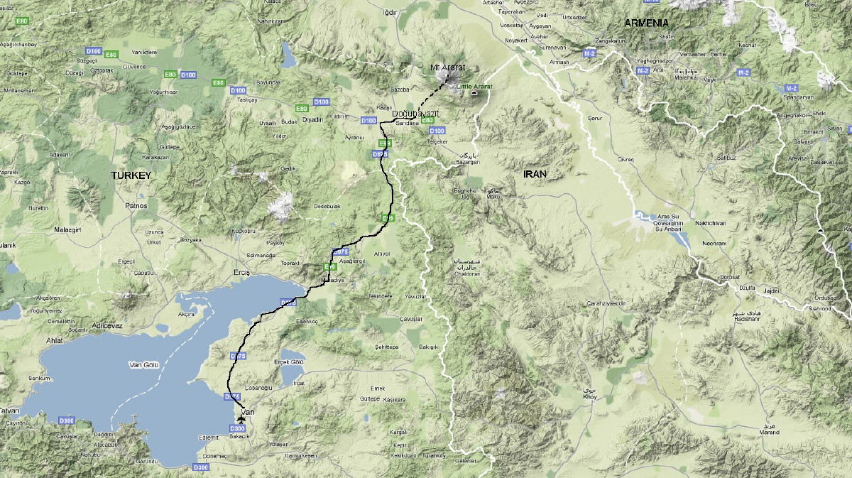
Map of Eastern Turkey. Starting from Van we travelled by vehicle to Doğubayazit and from there we started our Mt Ararat climb.
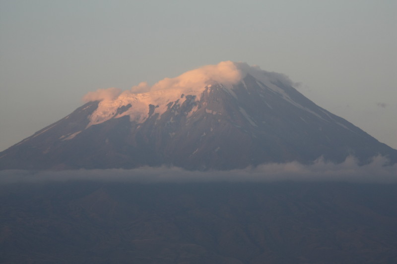
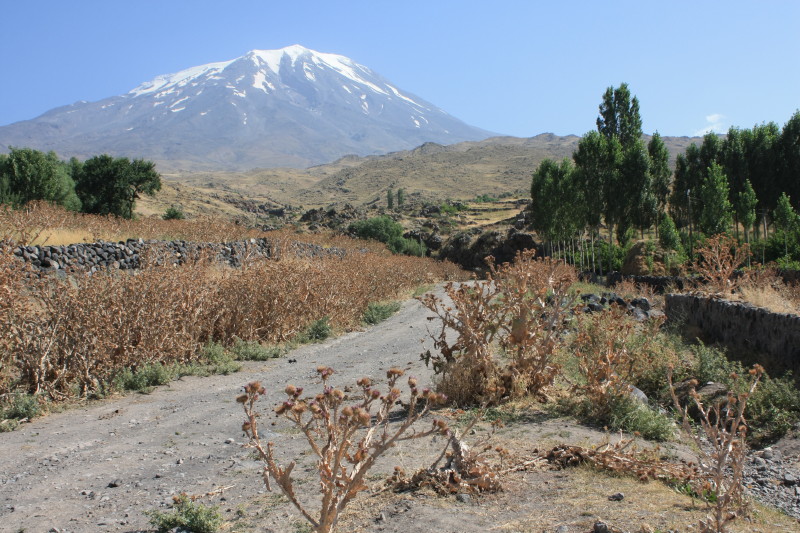
Mt Ararat (5137m) is an extinct volcano in far eastern Turkey, near the borders with Iran and Armenia. It is the highest mountain in Turkey and of great religious and historic significance to many cultures.
In August 2010 I joined a group from Anatolian Adventures to climb Mt Ararat. Starting and ending in the dusty city of Van in eastern Turkey, this expedition took 5 days. The attractions of this trip were far more than simply the trekking itself and reaching the summit of Mt Ararat. Eastern Turkey is culturally fascinating, and this was my first visit to this part of the world. The region is predominantly inhabited by Kurdish people, who regard this area and adjacent regions of Iran and Iraq as their own cultural entity, "Kurdistan". These people identify with their own culture and region rather than with Turkey or Iran or Iraq, within whose borders the Kurdish people live.
From Van we drove to the frontier town of Doğubayazit, only 30km from the Iranian border. Here I experienced authentic Kurdish culture and food, as you will see from the photos! From Doğubayazit we travelled to the lower slopes of Mt Ararat where we commenced our climb.
After the climb of Mt Ararat we returned to Doğubayazit and visited the Ishak Pasha Palace. See the Widipedia page on the Ishak Pasha Palace for more information. Then we drove back to Van and I had a day free to visit the island of Akdamar Adasi in Lake Van, the site of a very old Christan church. See the Wikipedia page on Akdamar Adasi for more information about this fascinating island.
It was a fascinating corner of the world to visit on my 2010 trip to Europe. I hope you enjoy the photos.
Here is the itinerary of the trip.
| Date | Comments |
| 17 Aug 2010 | Fly from Vienna to Istanbul. Afternoon in Istanbul. Stay in Sarnic Hotel. |
| 18 Aug 2010 | Fly from Istanbul to Van. Meet Anatolian Adventures and drive to Doğubayazit. All kinds of exotic foods to eat for lunch and dinner in Doğubayazit! |
| 19 Aug 2010 | Drive to the slopes of Mt Ararat and walk to Camp 1 (3370m). |
| 20 Aug 2010 | Climb to Camp 2 (4200m). |
| 21 Aug 2010 | Ararat summit day. Set off from camp at 2:30am. Climb to summit (cold and windy) then return to Camp 2 to rest. Then descend back to Camp 1 (3370m). |
| 22 Aug 2010 | Returned to Doğubayazit and went to visit the Ishak Pasha Palace on a hillside near Doğubayazit. Dinner in town. |
| 23 Aug 2010 | Drove back to Van. Stayed in the Akdamar Hotel in Van. In the afternoon went to visit the island of Akdamar Adasi in Lake Van. |
| 24 Aug 2010 | Flew from Van back to Istanbul. Waited in Istanbul airport for flight to Moscow for Elbrus expedition. |
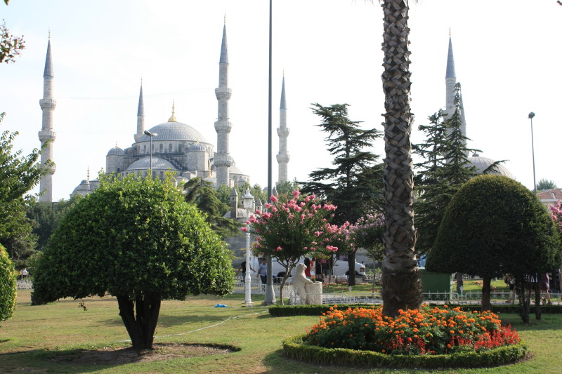
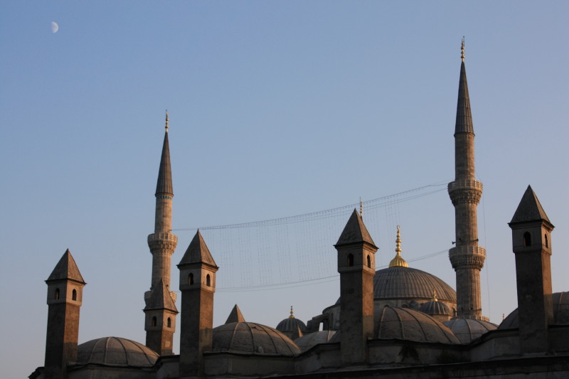
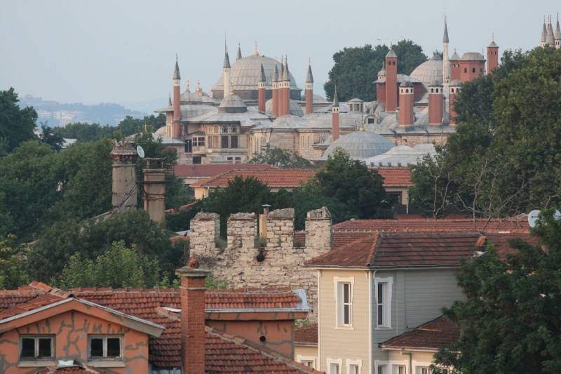
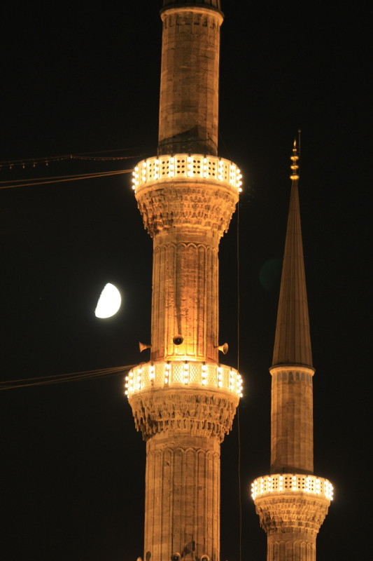
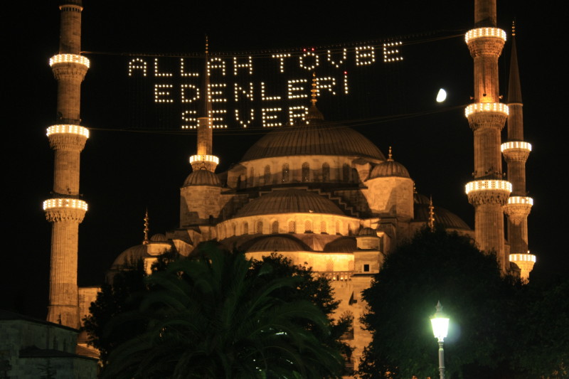
On 17 Aug 2010 I flew from Vienna to Istanbul and had an afternoon to explore this amazing city. Istanbul is truly an amazing city. Unfortunately one afternoon is nowhere near enough time to enjoy all that Istanbul has to offer. I stayed in Sultanahmet on the historic peninsula, and the photos below are of the historic sites in Sultanahmet.
 |
 |
 |
 |
 |
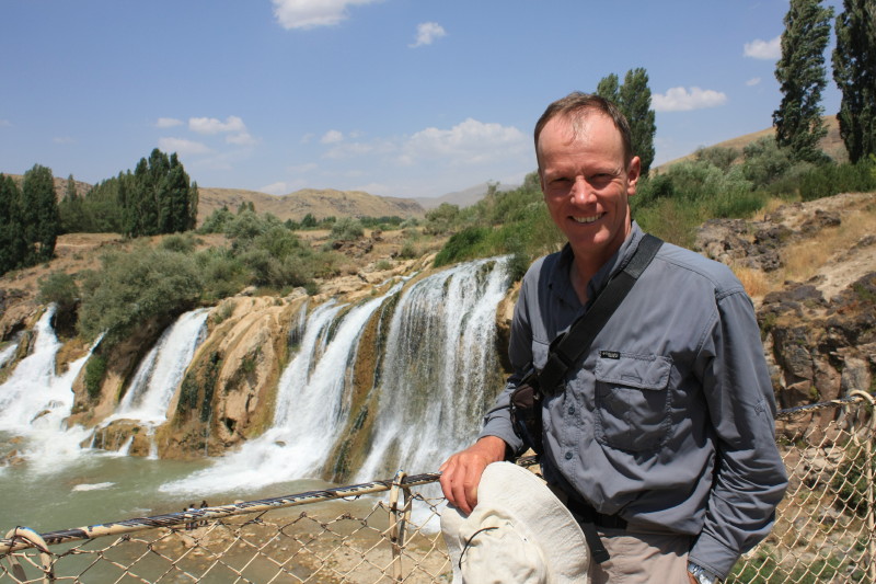 |
The surrounding country and the air was so dry - semi desert - that it was amazing to see so much flowing water in this harsh environment! I would guess that this river is one of the main sources of water for Lake Van. |
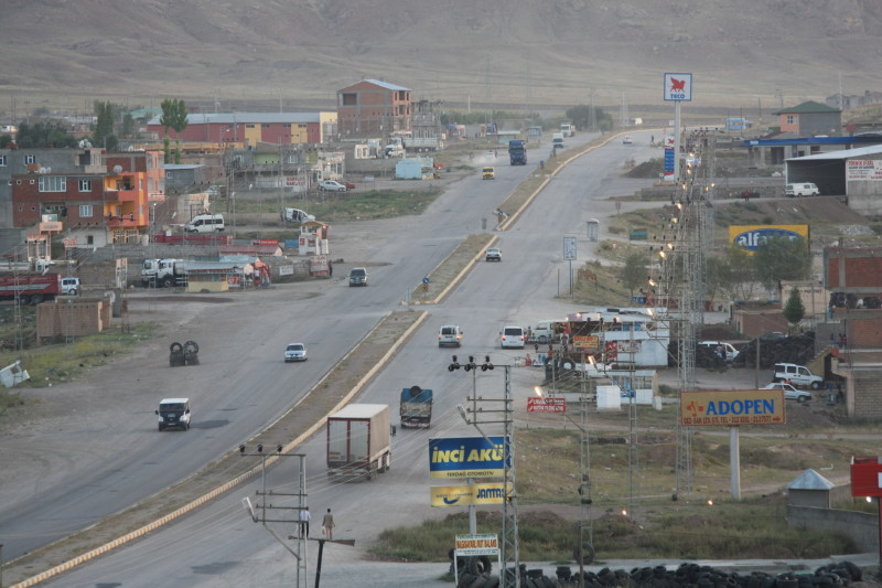
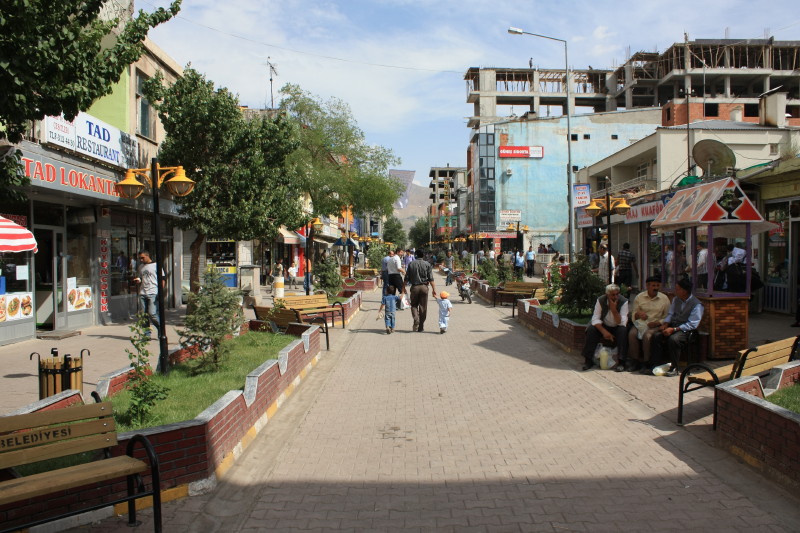
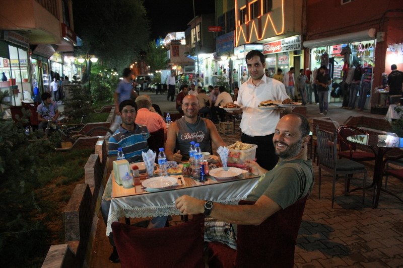
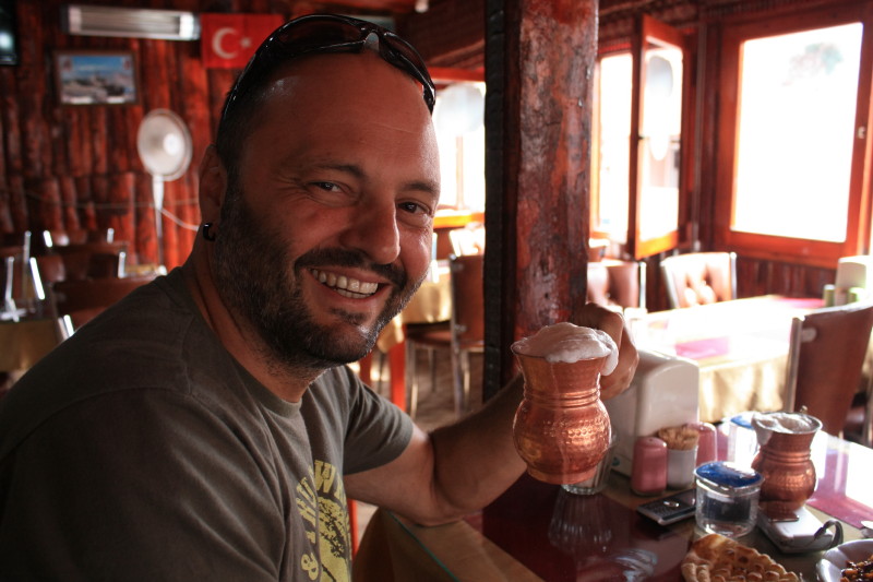
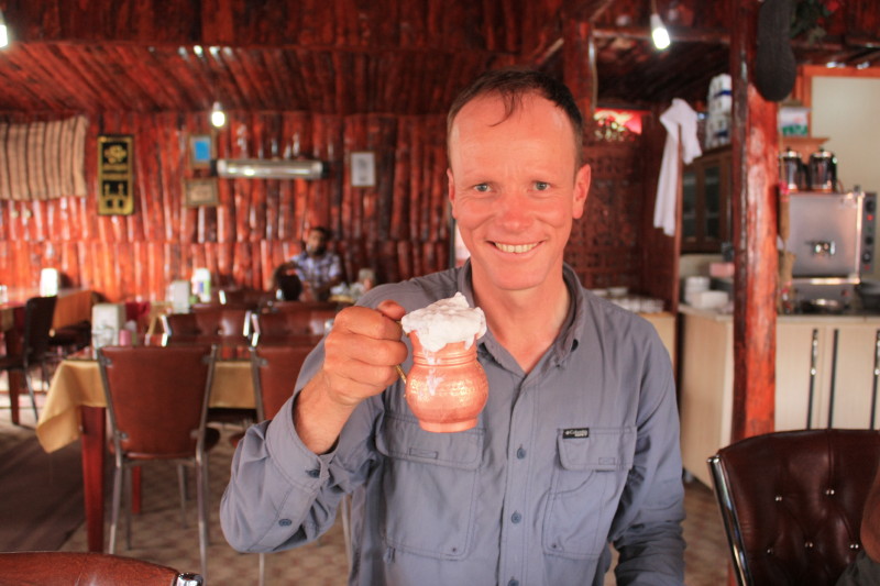
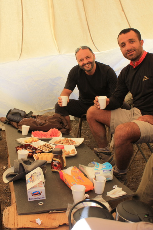
Doğubayazit is a frontier town within sight of Mt Ararat. It is close to the Iranian border and its population is primarily Kurdish. For more information about Doğubayazit see the Wikipedia page on Doğubayazit.
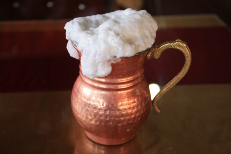
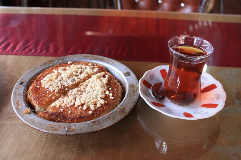
I arrived in Doğubayazit on 18 August 2010 and with my companians Selim and Sinan from Anatolian Adventures, we went out to lunch and dinner in this fascinating town. My visit was during Ramadan and many of the local people were fasting, but nevertheless we still found places to eat the most amazing Turkish food!
 |
|
 |
|
 |
|
 |
|
 |
|
 |
|
 |
|
 |
Mt Ararat - Climb to Camp 1 (3370m)
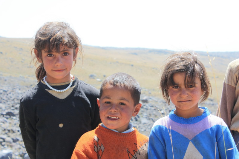
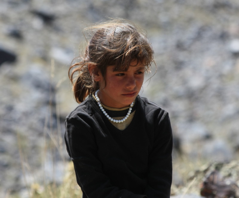
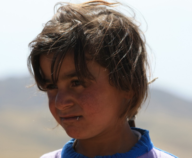
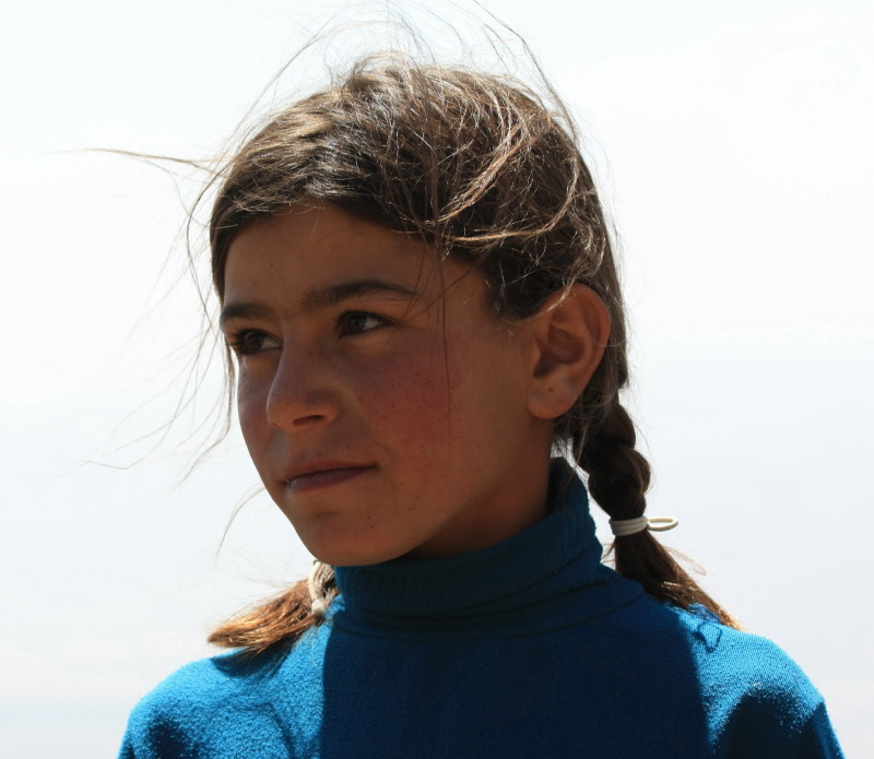
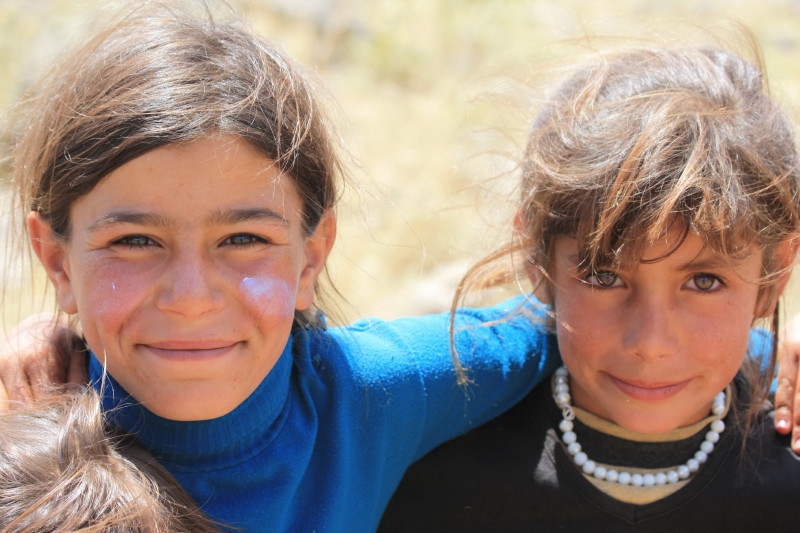
On 19 August we left Doğubayazit and drove a short distance to the slopes of Mt Ararat. Then we set off for Camp 1 (3370m). It was very warm and dry, extremely dehydrating conditions. I certainly found the need to carry plenty of water until acclimatized to this dry environment. One of the most enjoyable parts of this walk was meeting young Kurdish children on the way.
 |
|
 |
|
 |
|
 |
|
 |
|
 |
|
 |
|
 |
Mt Ararat - Climb to Camp 2 (4200m)
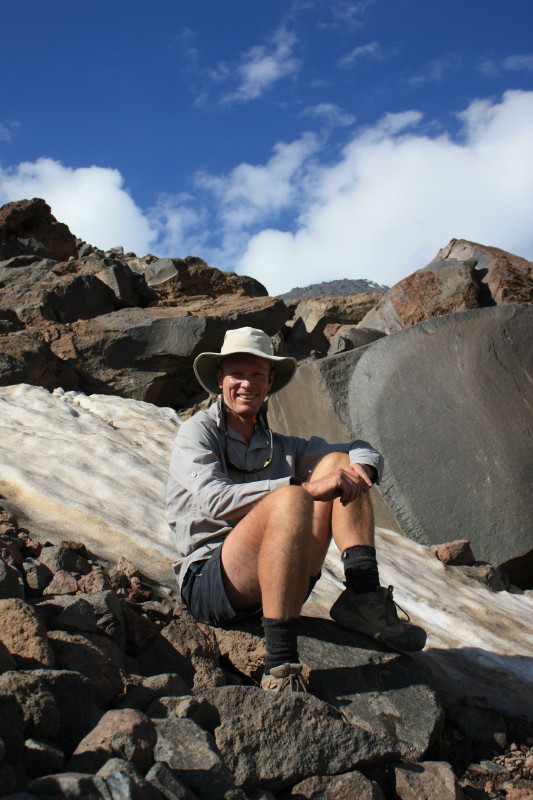
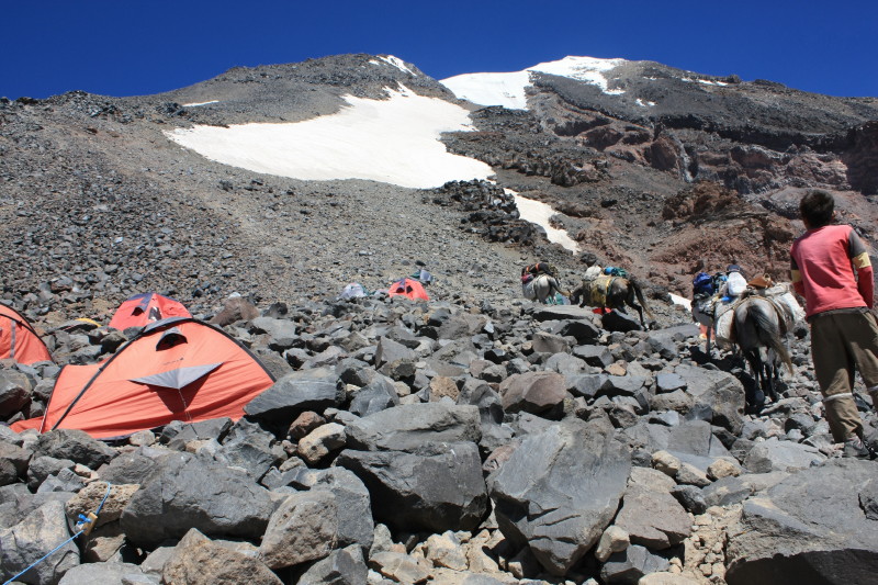
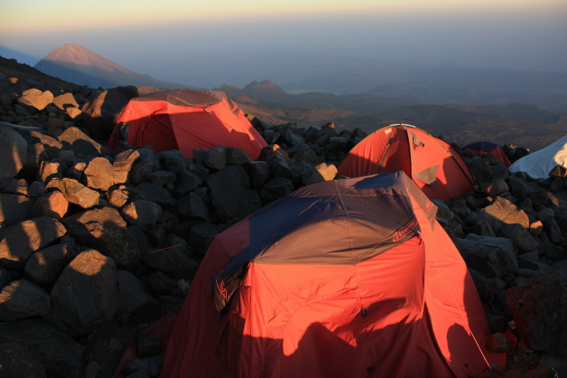
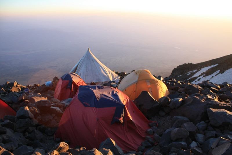
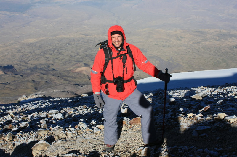
On 20 August I wasn't feelin very well, something wrong with the food. But the food was so nice! We climbed to Camp 2, reaching it by about 11:30am and feeling quite lethargic due to the effects of altitude. Later, horses arrived at the camp with our luggage. Most of the afternoon was spent resting, and this was followed by a short acclimatization walk. Then it was dinner and early to bed - our summit bid would start at 2am the following morning.
 |
|
 |
From left to right: Selim, one of the 2 other clients and Mustafa, our guide. |
 |
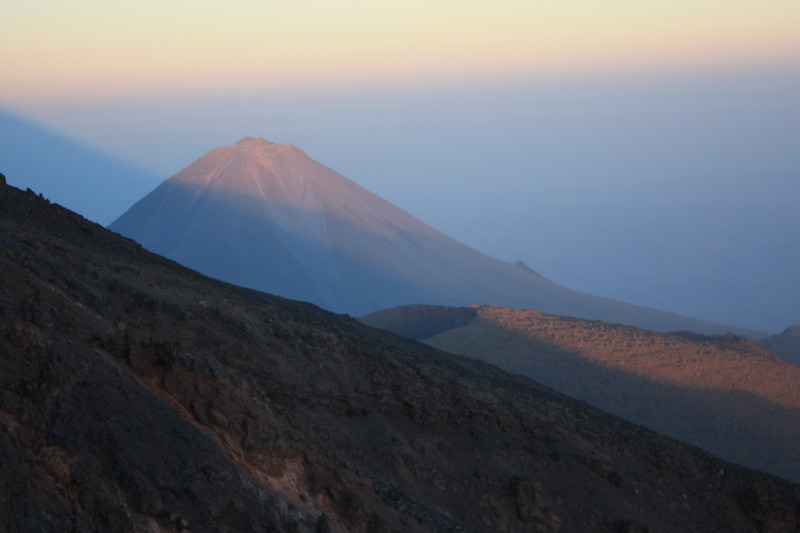
In the background you can see lava flows from ancient volcanic eruptions. |
 |
|
 |
|
 |
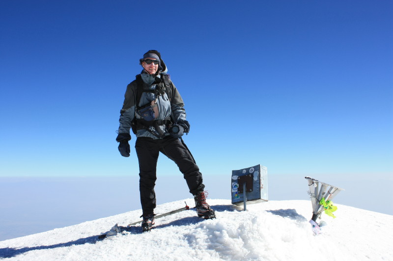
Mt Ararat - Climb to Summit (5137m)
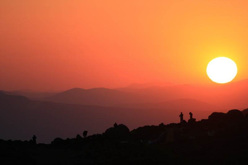
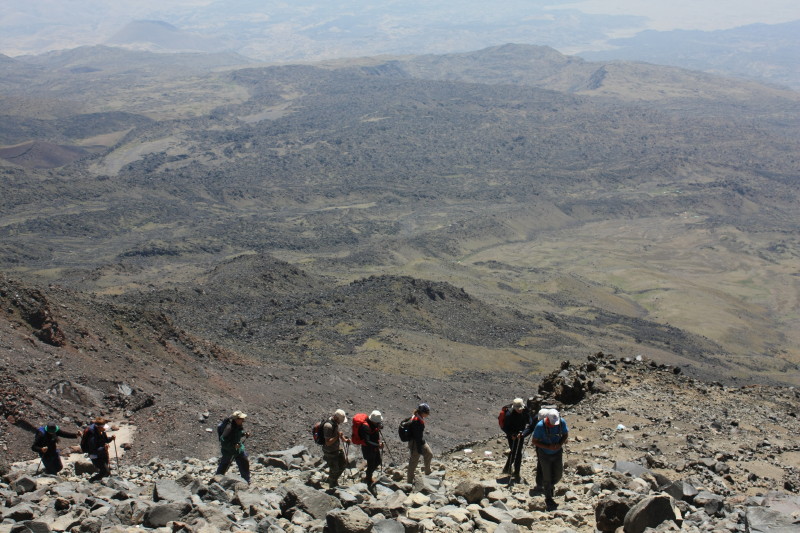
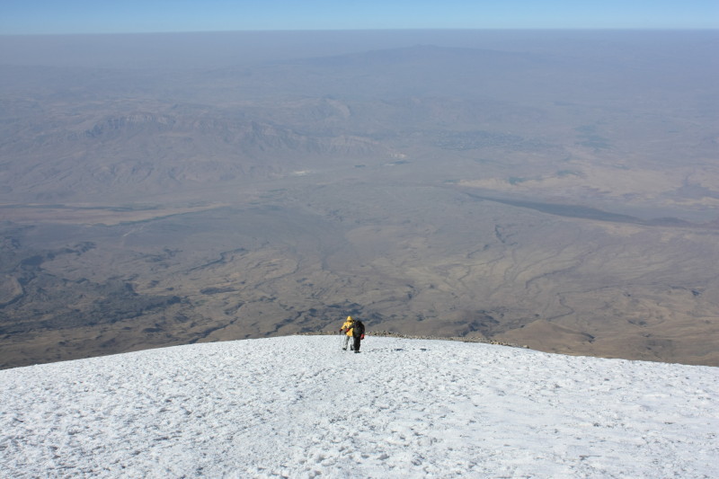
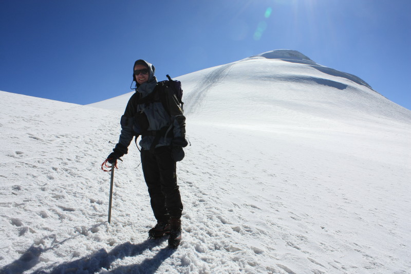
On 21 August alarms went off at 1:30am and breakfast was at 2am. At about 2:30am we set off, in complete darkness, our torches lighting the way up the rocky slopes. By the time the sun came up we had reached the permanent snow cap at an altitude of about 4800m. Then it was a matter of cramponing up the gentle snow slopes to the summit. It was very cold and windy on top!
We returned to Camp 2 for a long rest and hearty lunch, then later in the afternoon we descended all the way back to Camp 1.
 |
|
 |
|
 |
|
 |
|
 |
|
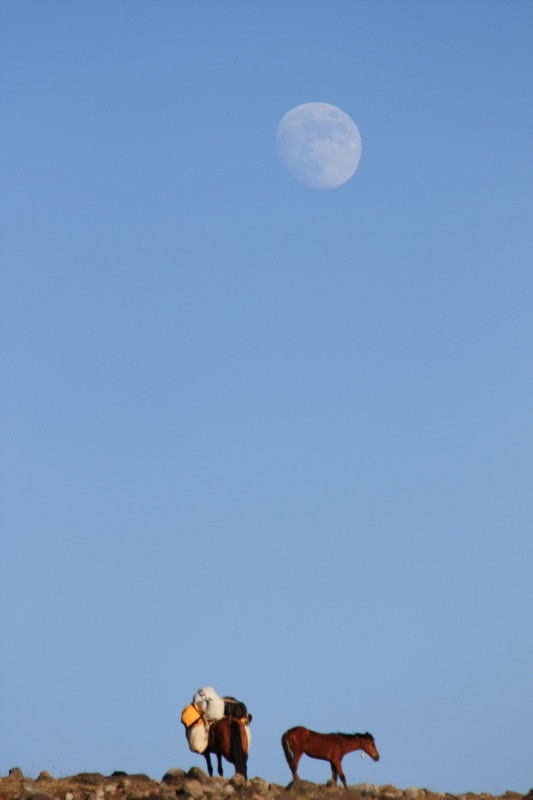 |
In this vast landscape of lava flows and volcanic peaks and rising moon you have the impression of being on but one of several planets in the solar system .... Am I on Mars? No, there are horses! |
 |
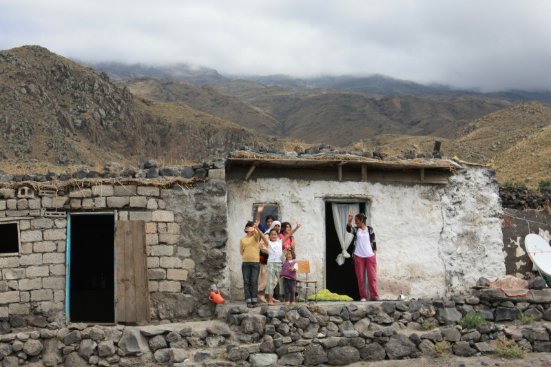
But this mistake was a blessing. As we wandered a little lost along the wrong road down the mountain we passed a few buildings. There this lovely family invited us into their home for tea while we waited for our vehicle to come around the mountain and pick us up. |
 |
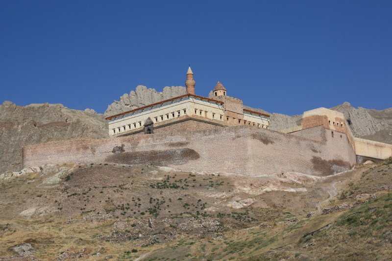
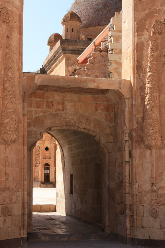
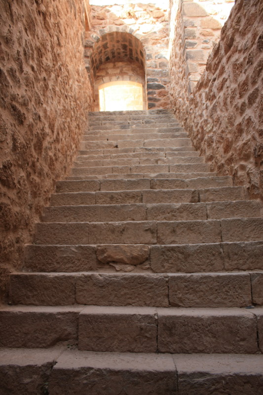
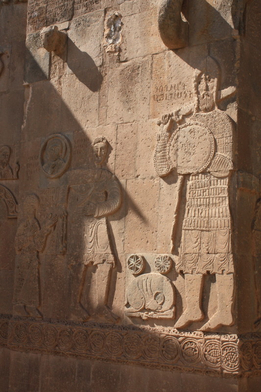
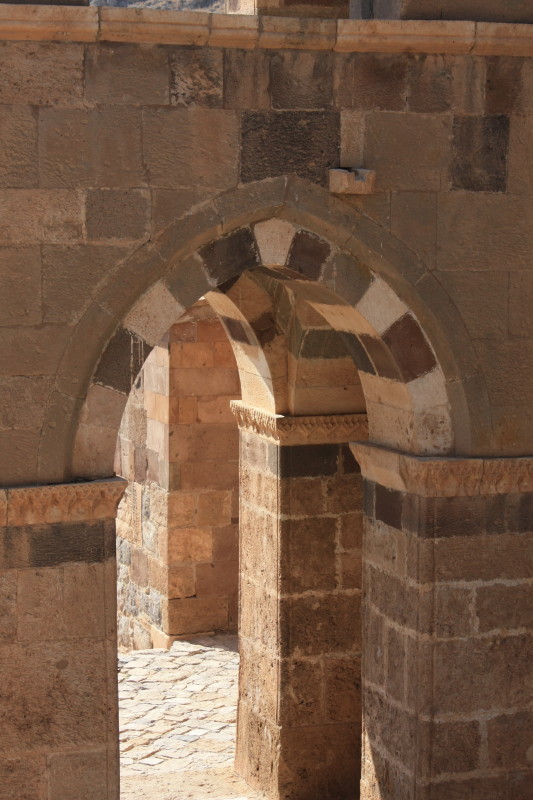
We returned to Doğubayazit on 22 August and visited the historic Ishak Pasha Palace. There is a Widipedia page on the Ishak Pasha Palace that has more information on this historic site.
 |
 |
 |
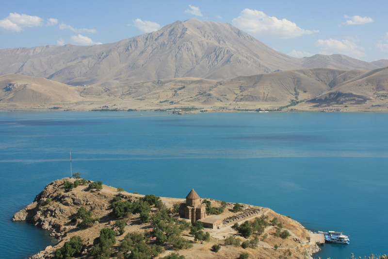
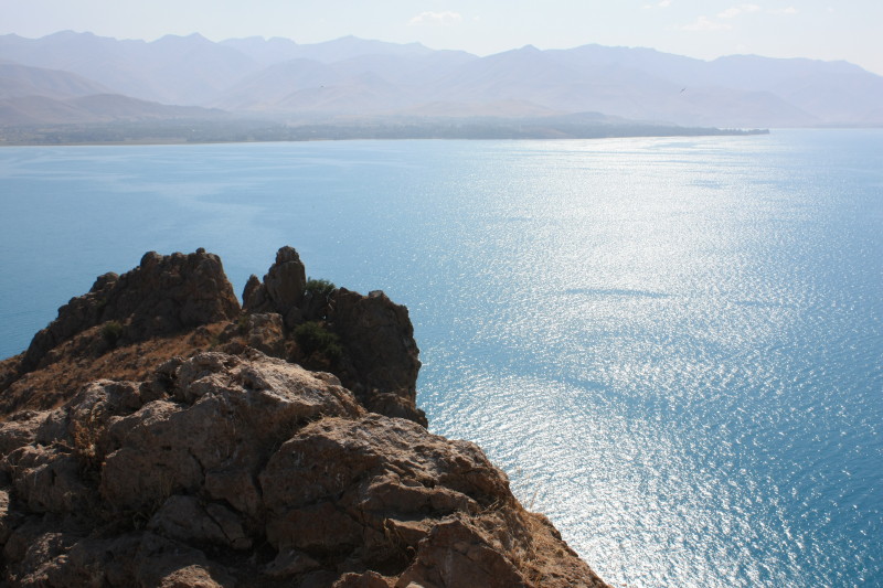
The city of Van, where this trip started and ended, is located on the shores of Lake Van, a vast lake or inland sea at 1600m above sea level in eastern Turkey. It is an amazing lake, the colour of the water is a mesmerizing opal blue. It is apparently slightly salty and alkaline. It really looks like the Mediterranean Sea, but amazingly it is in the middle of the semi desert of eastern Turkey and 1600m in altitude.
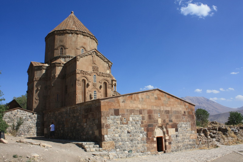
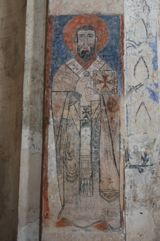
On an island in this lake, about 30km south of Van, is an old Christan church called Akdamar Adasi. On 23 August I had a spare day in Van so I went to this island and visited this famous old church. There is a Wikipedia page on Akdamar Adasi that has more information on this important religious site.
 |
 |
 |
 |
 |
 |
All content copyright © Ashley Burke 2010. Not to be copied, duplicated or used for any purpose without permission. Page created 11 Oct 2010, last updated 11 Oct 2010. |