![]()
Navigation Weekend 29-30 Jun 2019
Photos
All content copyright © Ashley Burke 2019 or as otherwise noted. Not to be copied, duplicated or used for any purpose without permission.
Navigation Weekend 29-30 Jun 2019 Photos
All content copyright © Ashley Burke 2019 or as otherwise noted. Not to be copied, duplicated or used for any purpose without permission. |
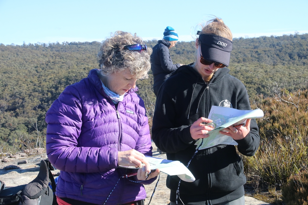
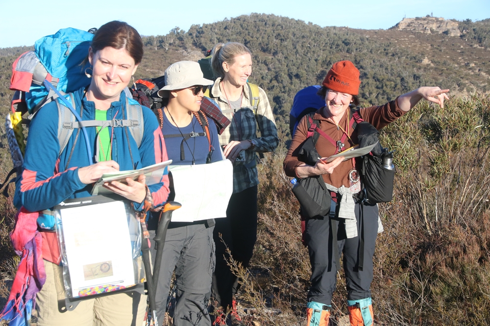
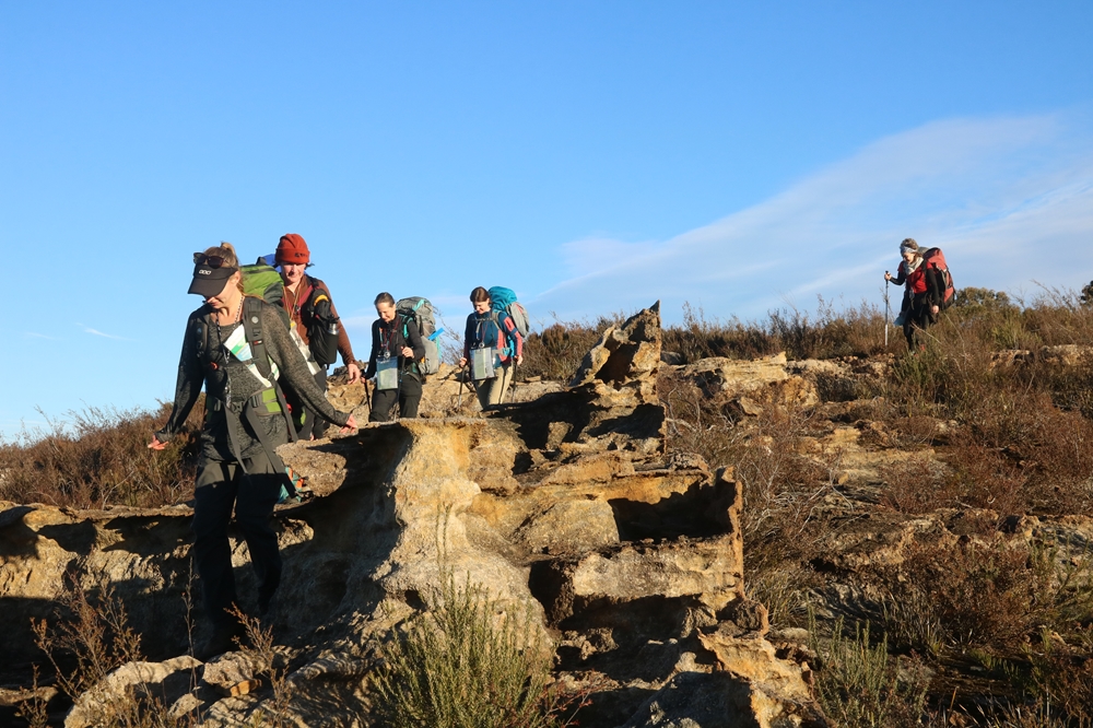
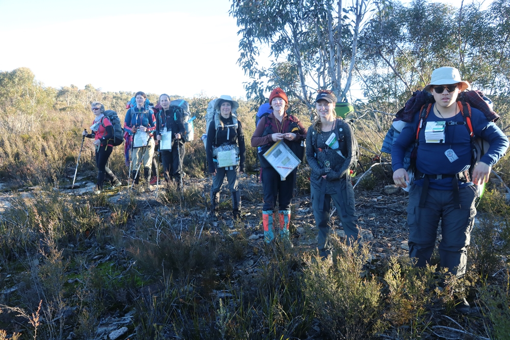
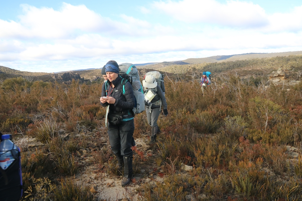
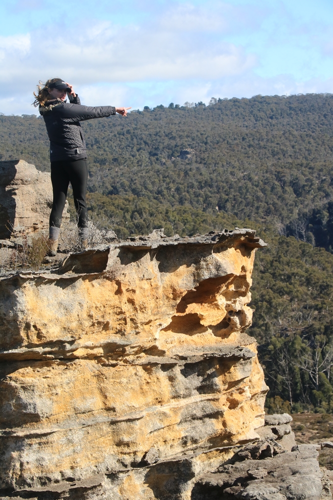
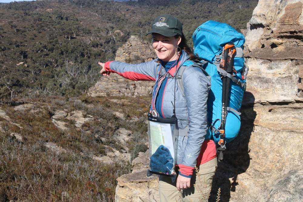
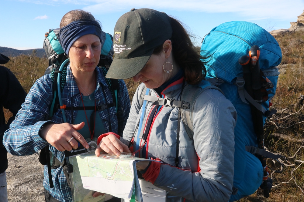
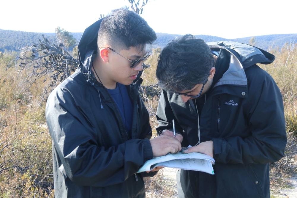
The MountainSphere navigation weekend is a 2 day educational bushwalk that provides clients with practical training on the skills of navigation off the beaten track by map and compass. Expert tuition in map reading and use of a compass is provided, and participants immediately put these skills in practise to find a route and navigate to a beautiful campsite hidden in the heart of a sandstone wilderness. Apart from the educational aspects, the navigation weekend is an excellent opportunity to get off the beaten track and explore a beautiful wilderness area in a small group expedition with people who are there for the same reasons you are.
For more information about the MountainSphere Navigation Course please click the button below.
![]()
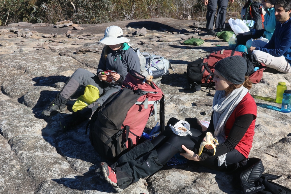
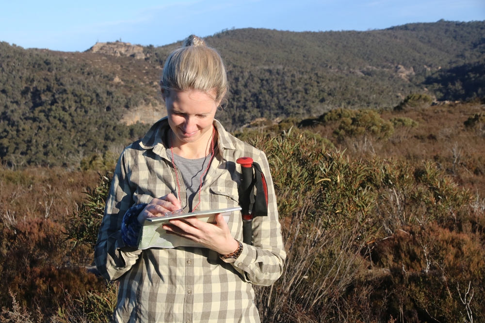
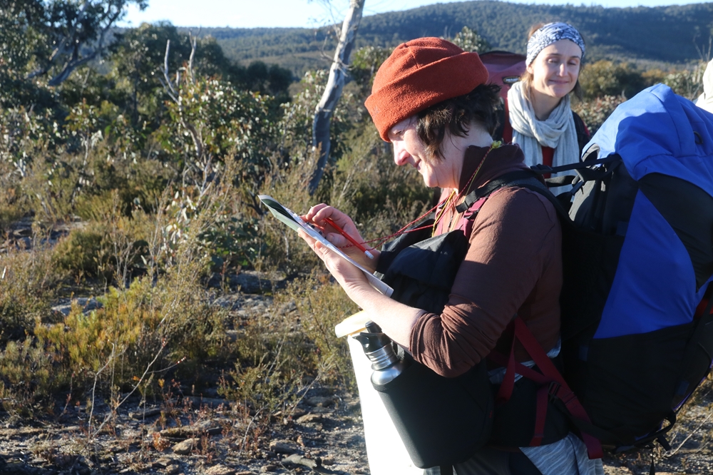
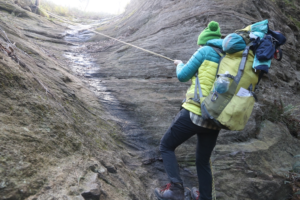
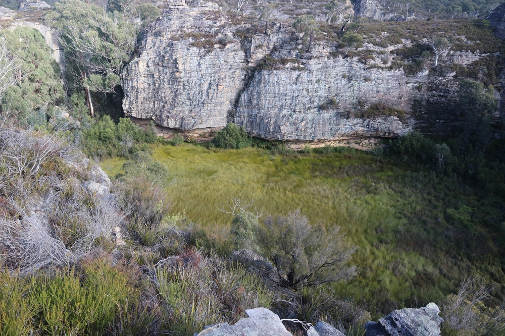
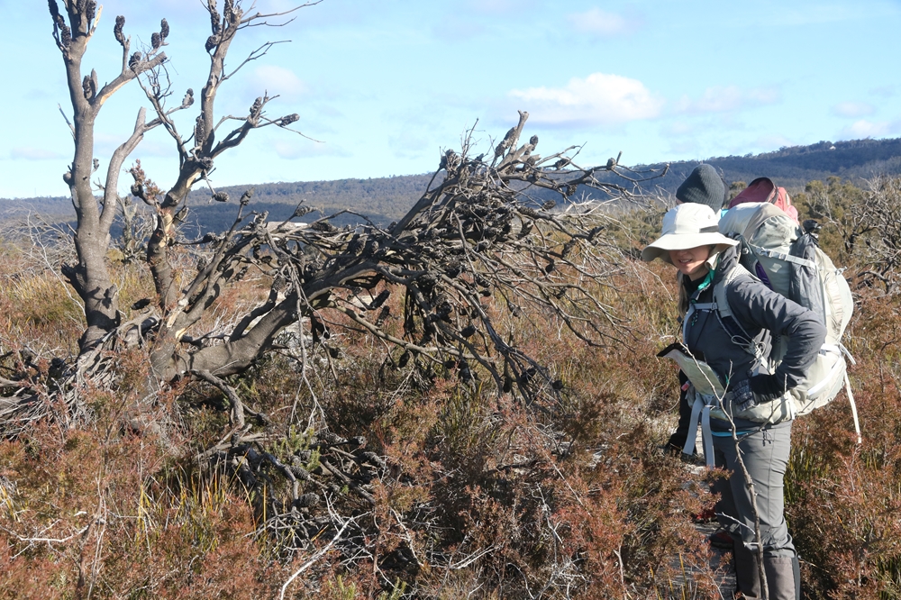
Here are some photos from the navigation weekend held on 29-30 June 2019. Being held in the very depths of winter, barely a week after the winter solstice, we were prepared for cold wintry conditions. But the Saturday was distinctly mild and we enjoyed clear skies and light winds all day as we navigated to our sheltered campsite which we reached by about 4:15pm. This gave just enough time in the remaining light to fetch water, get a photo of the picturesque Gooches Crater, and settle into camp. It was a mild evening and a small campfire was enough to keep the cold at bay. We sat around the fire until around 10pm, various stories of different adventures were told.
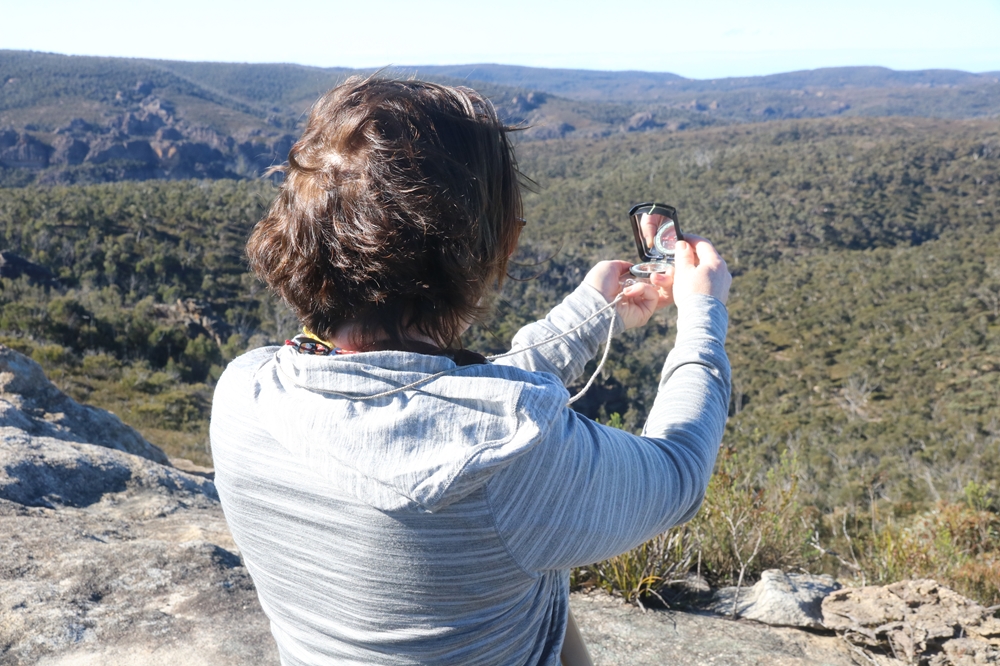
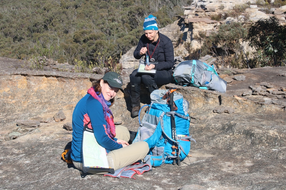
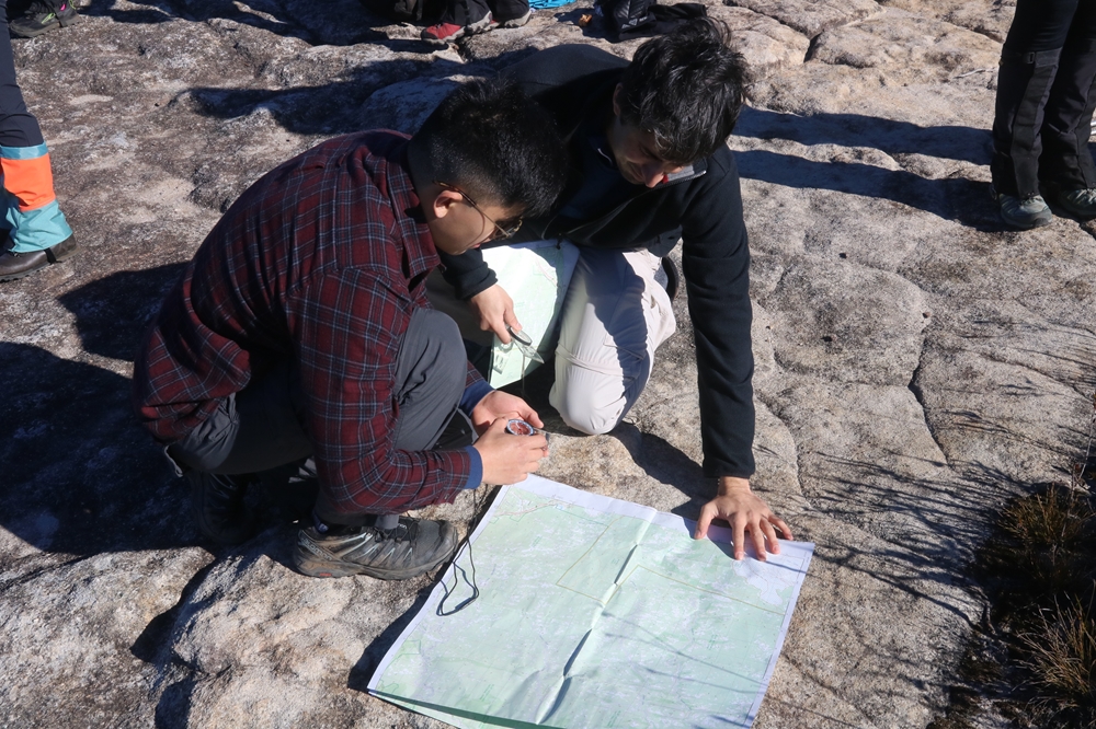
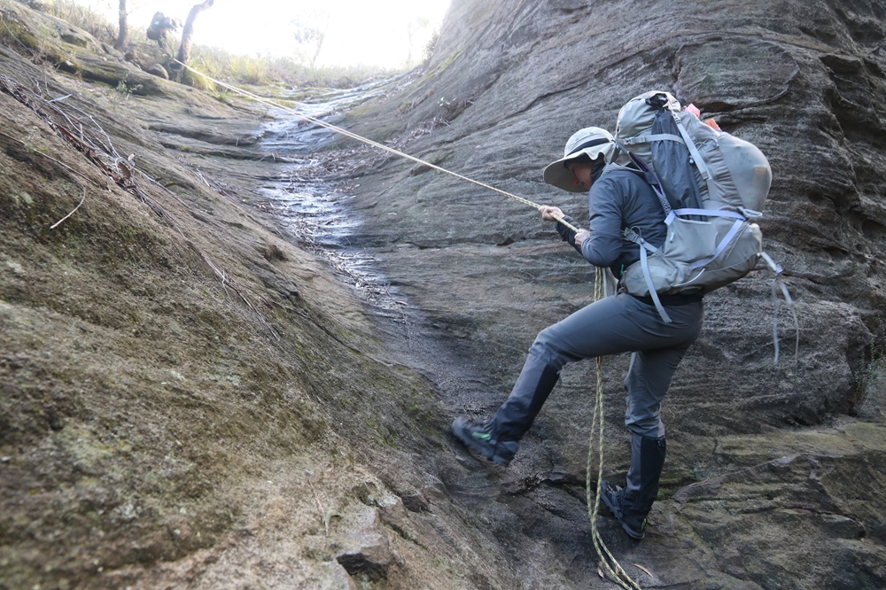
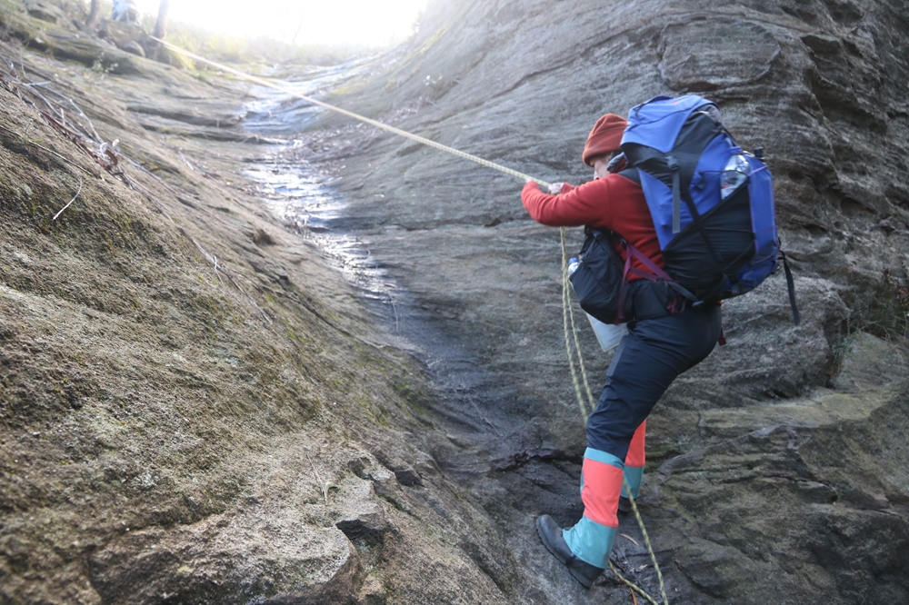
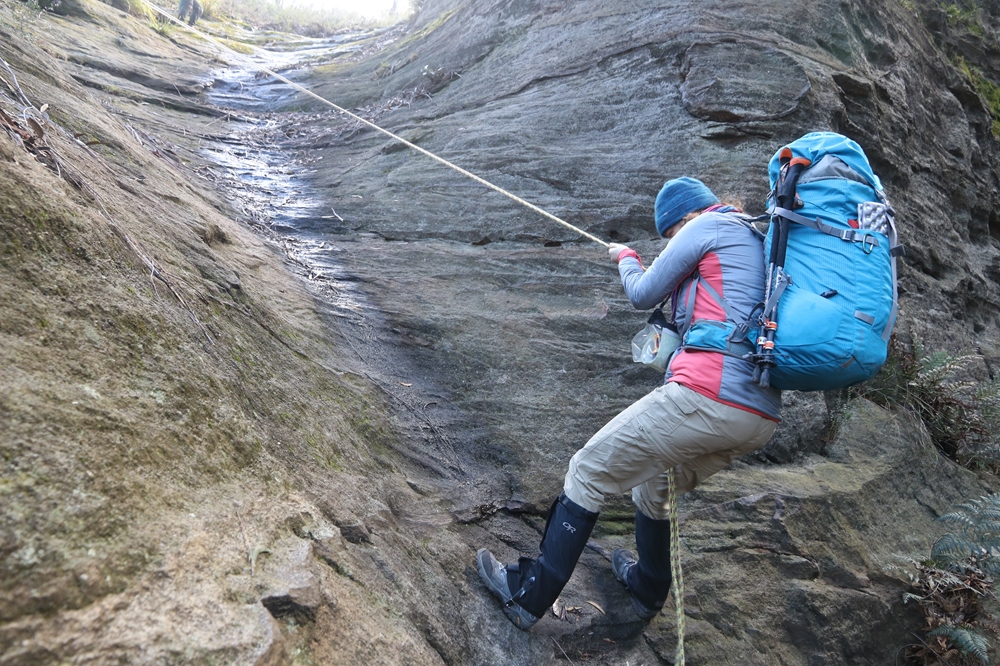
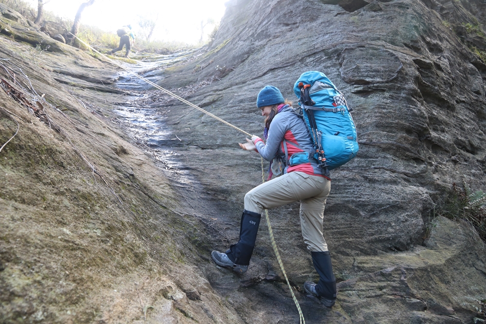
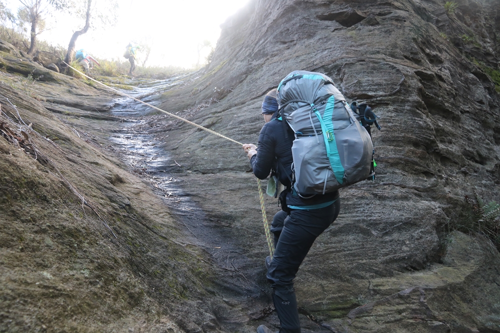
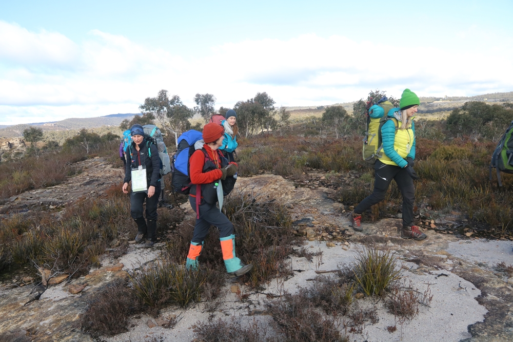
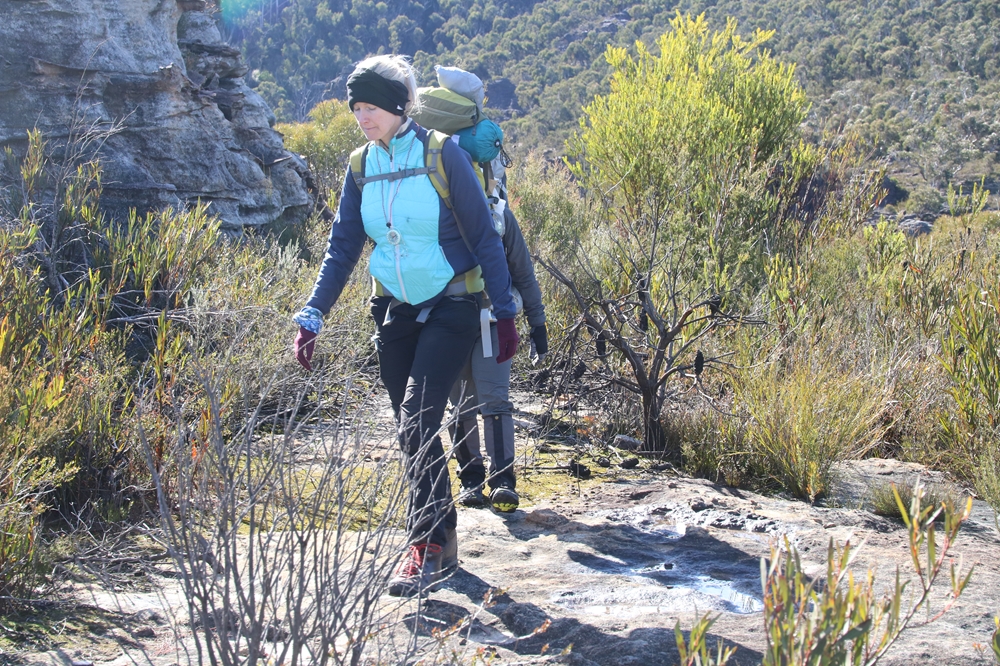
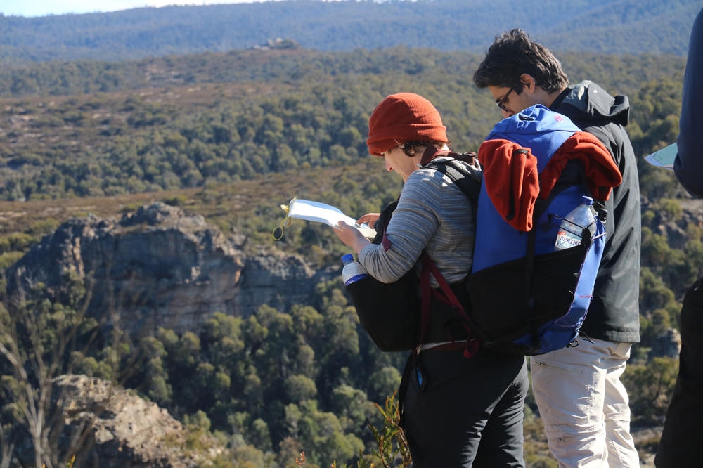
Sunday saw a wind change, and a cold wind was blowing so that the daytime temperature was barely warmer than the previous night. The air was crystal clear though, and the skies blue. We took tracks and trails for some of the day, to practise the technique of using map and compass to work out where you are on a trail and how far you have come and have to go. Careful study of the changing terrain as you walk along a trail is required. Then came a "bush bearing" where westruck out across country to pick up a spur leading back to the river. Down on the river the sun was out and there was no wind so we had lunch here. Then for the return leg back to the cars we practised more trail navigation, map reading and contour interpretation.
A fantastic group of people and a huge amount of fun was had whilst learning all about map and compass navigation at the same time. Enjoy the pics and come again!
 |
|
|
|
|
|
 |
|
 |
|
 |
|
 |
|
 |
|
 |
|
 |
|
 |
|
 |
|
 |
|
 |
|
 |
|
 |
|
 |
|
 |
|
 |
|
 |
|
 |
|
 |
|
 |
|
 |
|
 |
|
 |
This web page created on 01 Jul 2019, last updated 01 Jul 2019. All content copyright © Ashley Burke 2019. Not to be copied, duplicated or used for any purpose without permission. |
|