![]()
Navigation Weekend 16-17 March 2019
Photos
All content copyright © Ashley Burke 2019 or as otherwise noted. Not to be copied, duplicated or used for any purpose without permission.
Navigation Weekend 16-17 March 2019 Photos
All content copyright © Ashley Burke 2019 or as otherwise noted. Not to be copied, duplicated or used for any purpose without permission. |
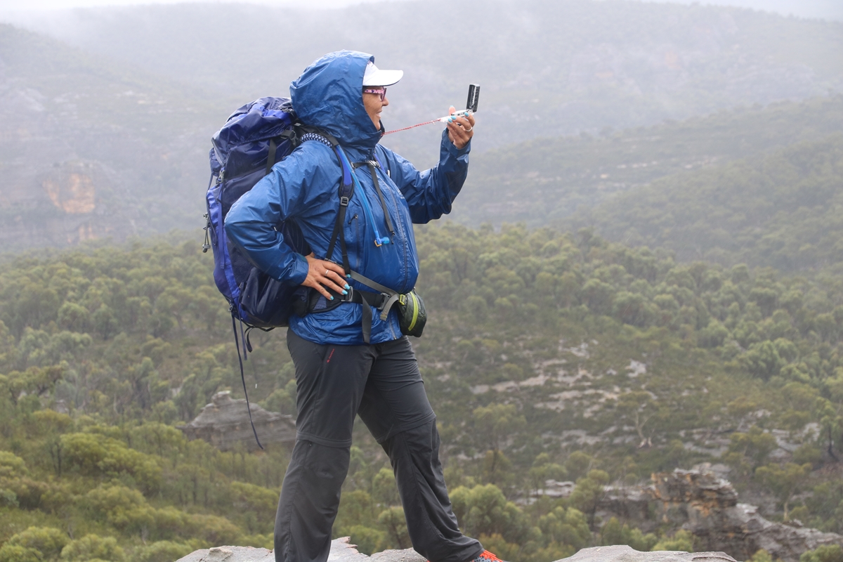
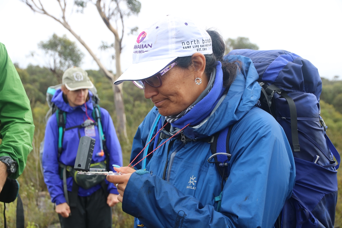
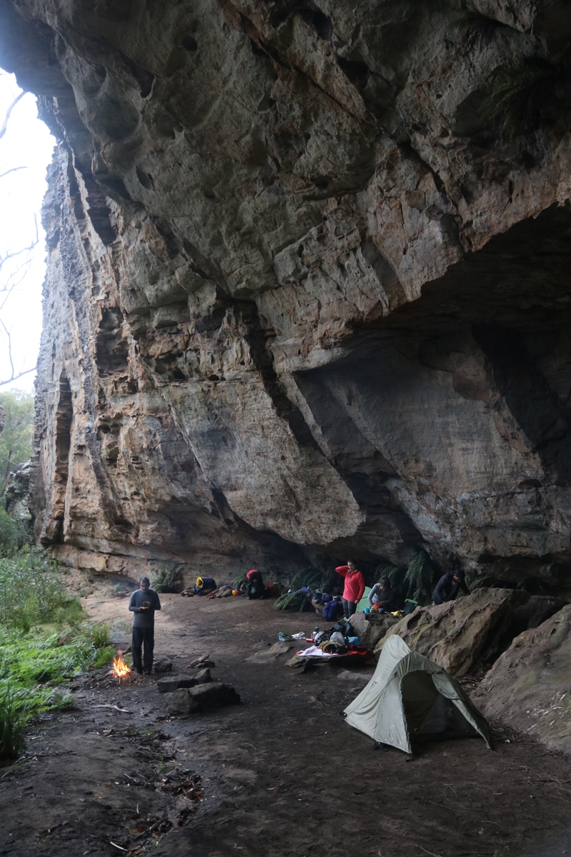
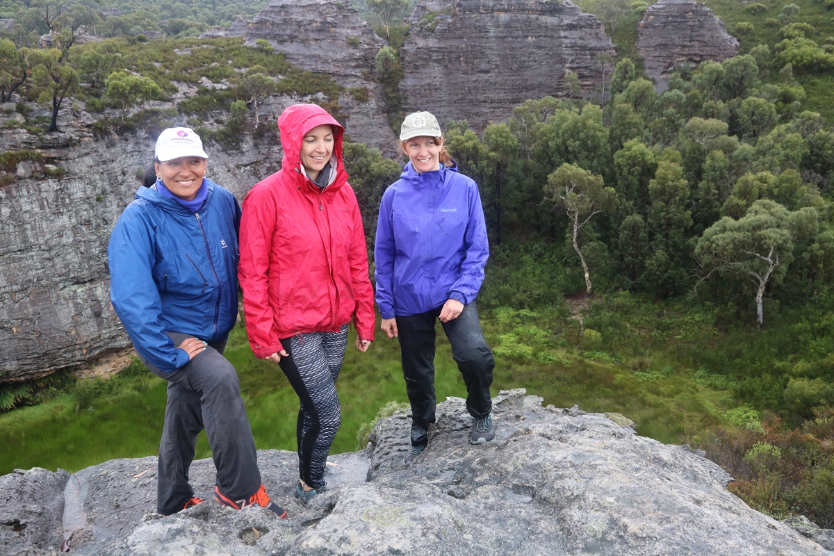
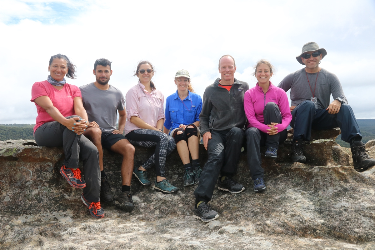
The MountainSphere navigation weekend is a 2 day educational bushwalk that provides clients with practical training on the skills of navigation off the beaten track by map and compass. Expert tuition in map reading and use of a compass is provided, and participants immediately put these skills in practise to find a route and navigate to a beautiful campsite hidden in the heart of a sandstone wilderness. Apart from the educational aspects, the navigation weekend is an excellent opportunity to get off the beaten track and explore a beautiful wilderness area in a small group expedition with people who are there for the same reasons you are.
For more information about the MountainSphere Navigation Course please click the button below.
![]()
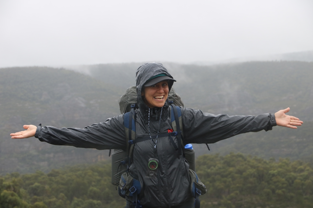
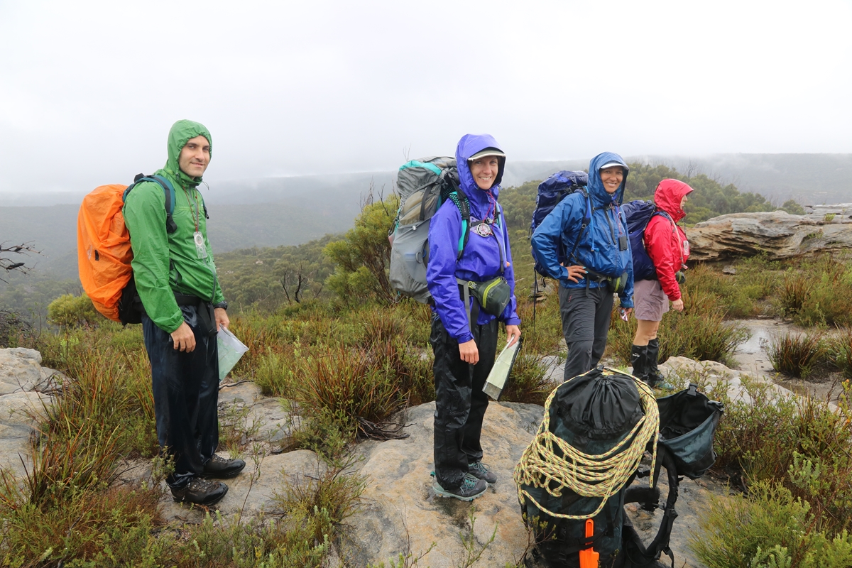
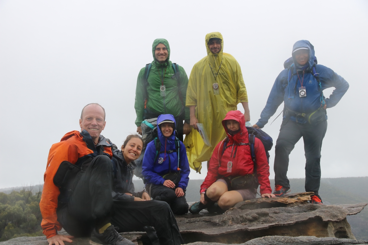
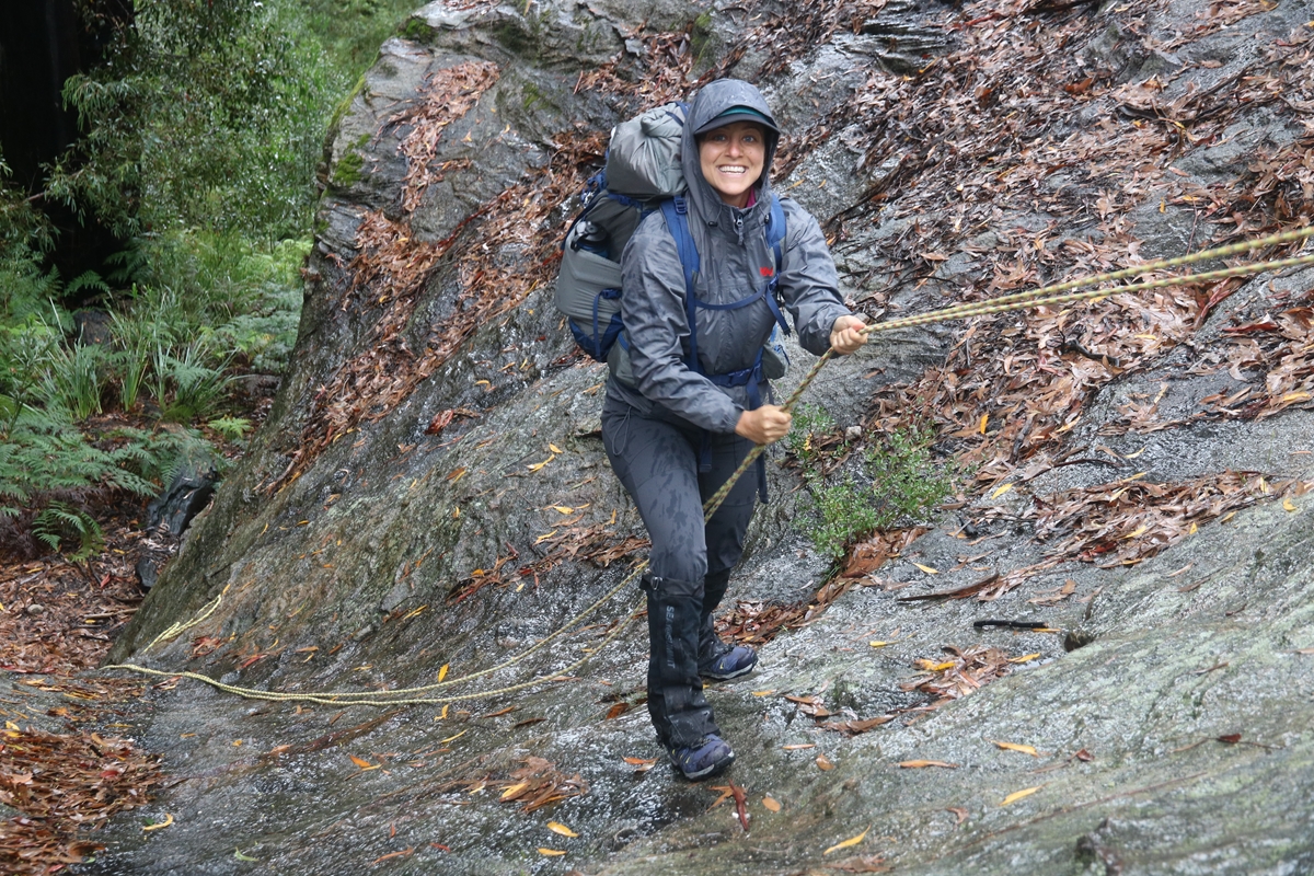
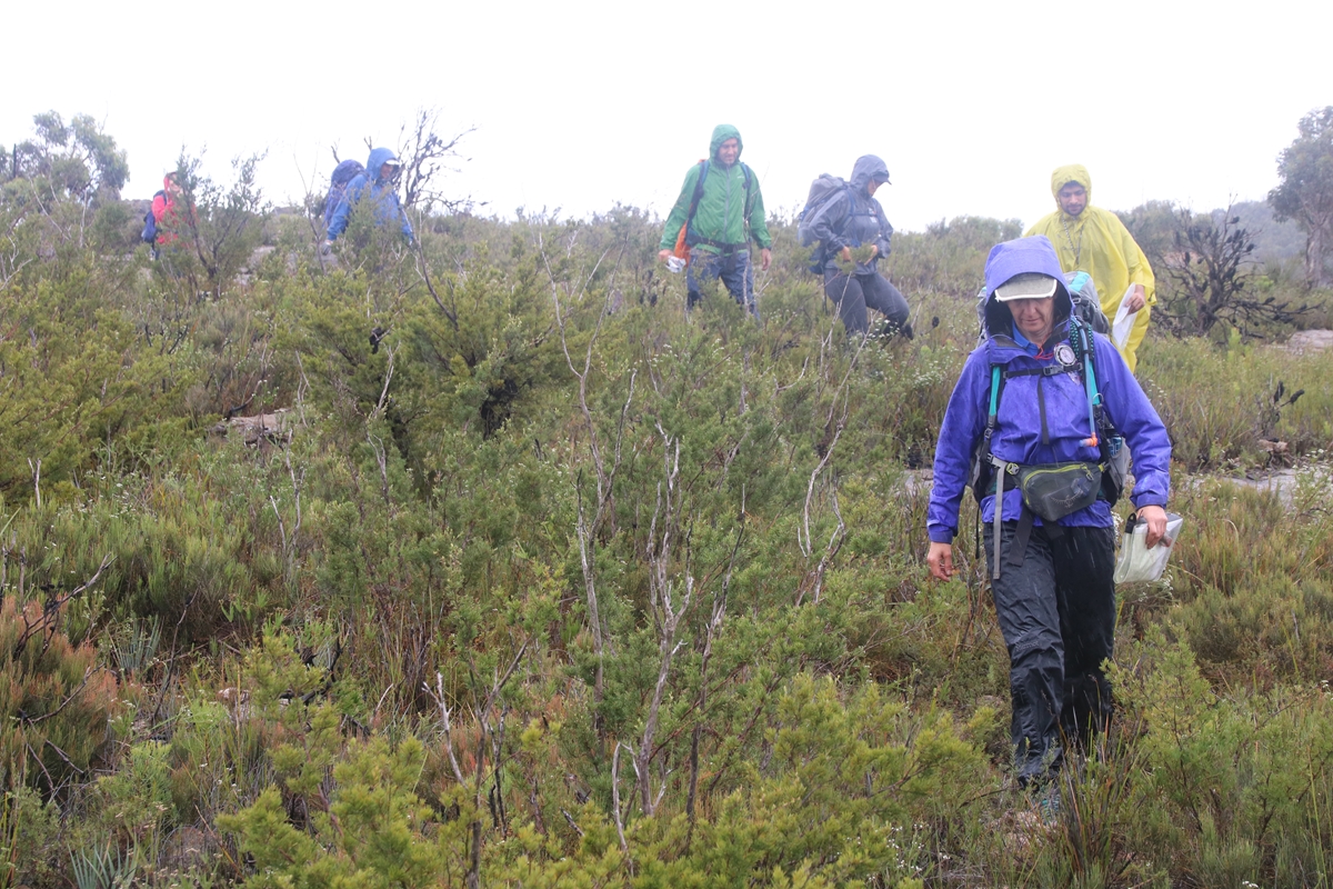
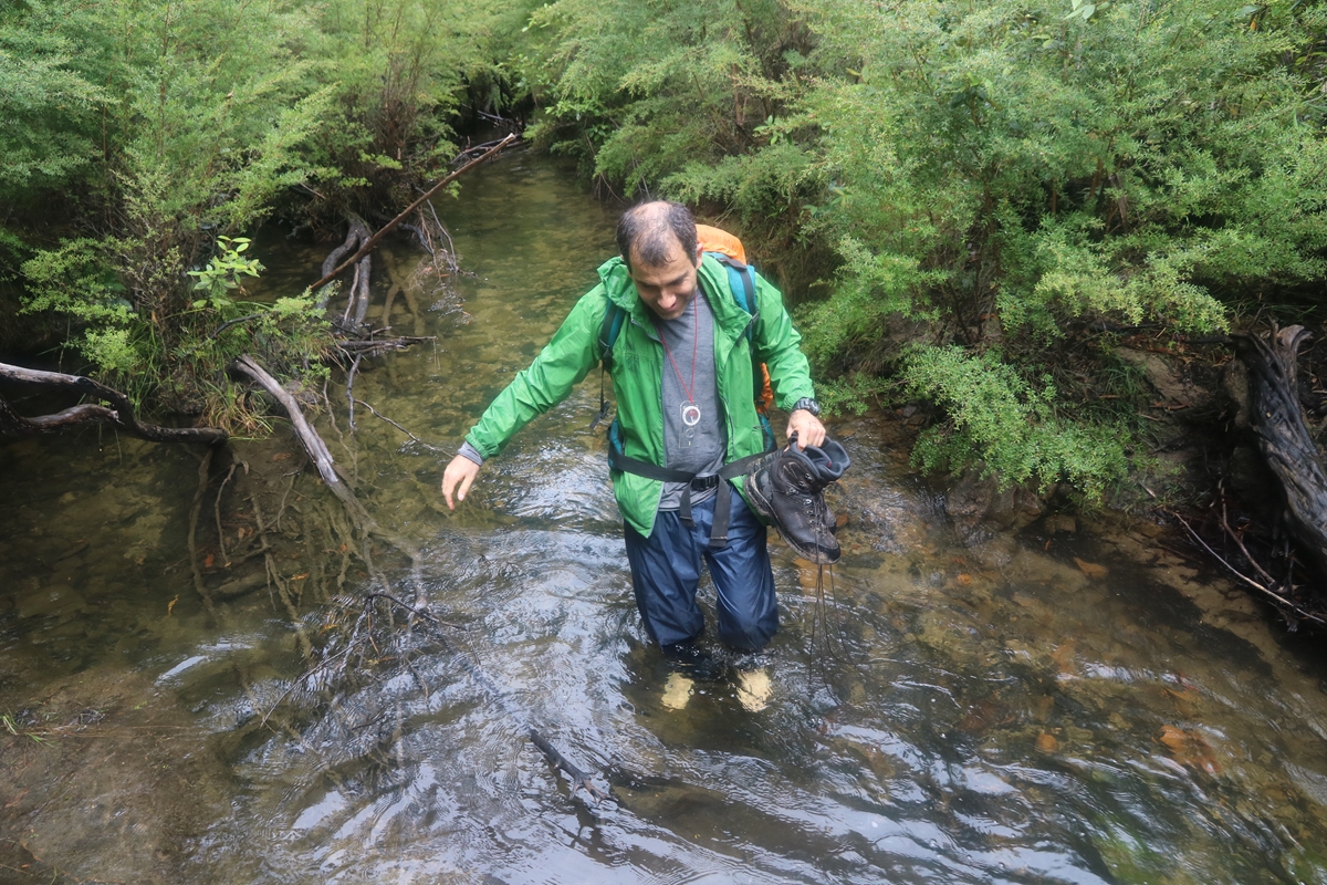
Here are some photos from the navigation weekend held on 16-17 March 2019. This was one of the wettest navigation weekends ever. Please note that the navigation weekend will go ahead even if it is raining. After all, adverse conditions are those where you most need your navigation skills, and when you need to keep moving to stay warm, and keep on track on the safest and most optimal route to a sheltered destination!
 |
|
|
|
|
|
 |
|
 |
|
 |
|
 |
|
 |
|
 |
|
 |
|
 |
This web page created on 20 Mar 2019, last updated 20 Mar 2019. All content copyright © Ashley Burke 2019. Not to be copied, duplicated or used for any purpose without permission. |
|