Ashley Burke's Navigation Weekend
Photos
All content copyright © Ashley Burke 2017 or as otherwise noted. Not to be copied, duplicated or used for any purpose without permission.
Ashley Burke's Navigation Weekend Photos
All content copyright © Ashley Burke 2017 or as otherwise noted. Not to be copied, duplicated or used for any purpose without permission. |
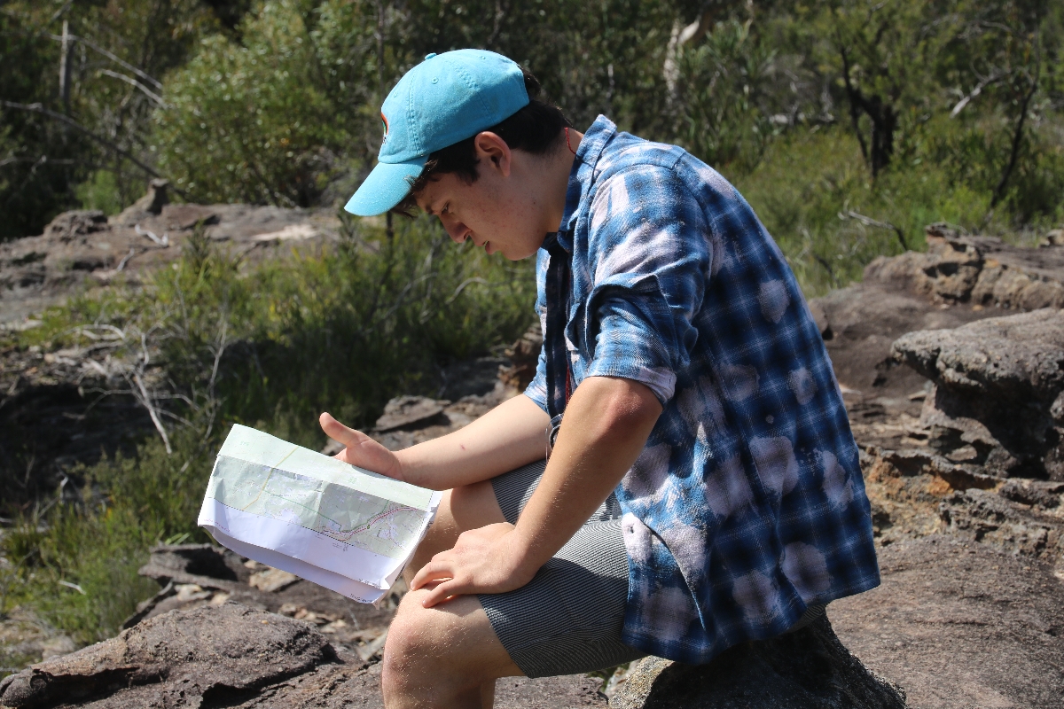
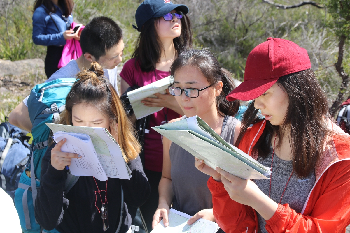
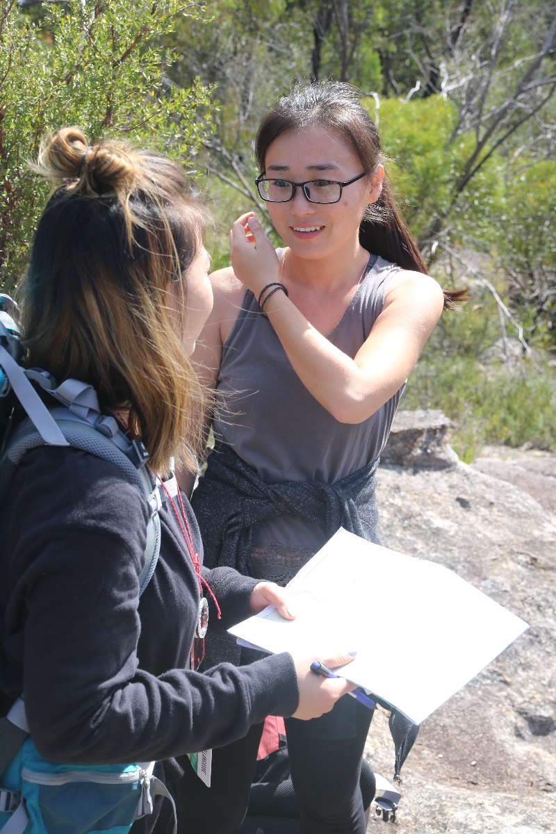
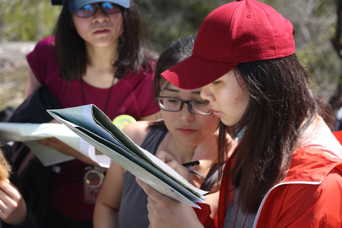
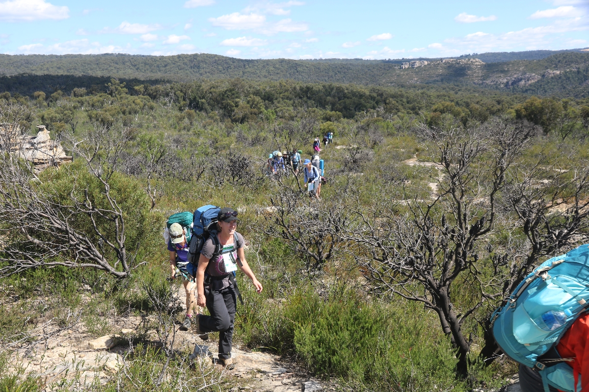
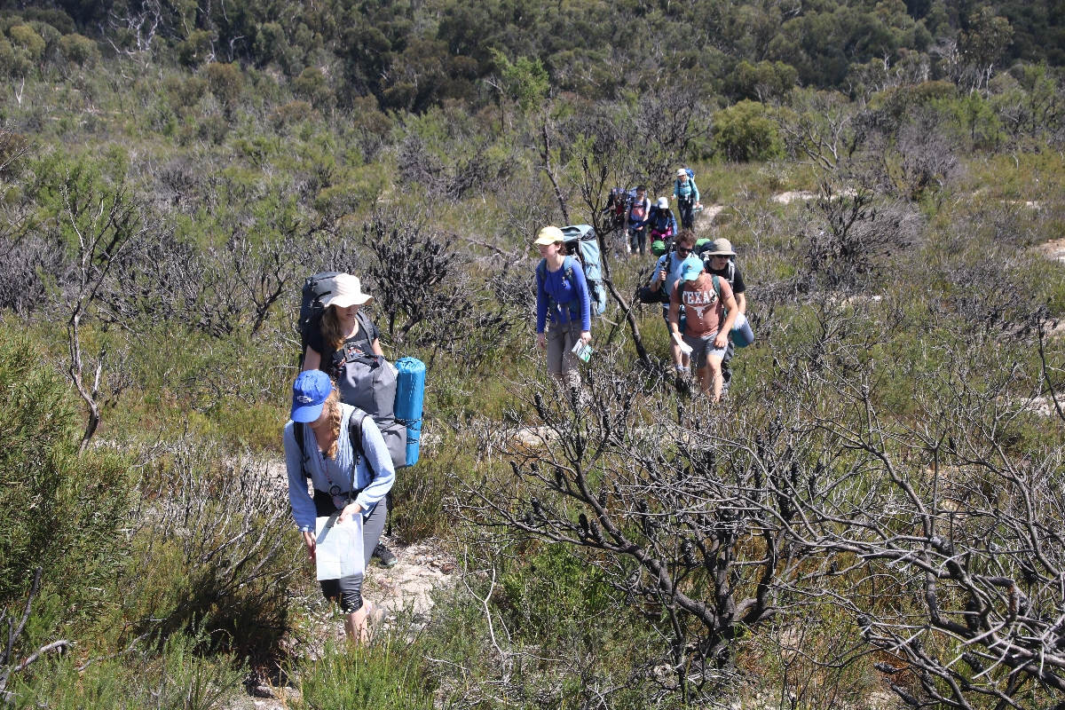
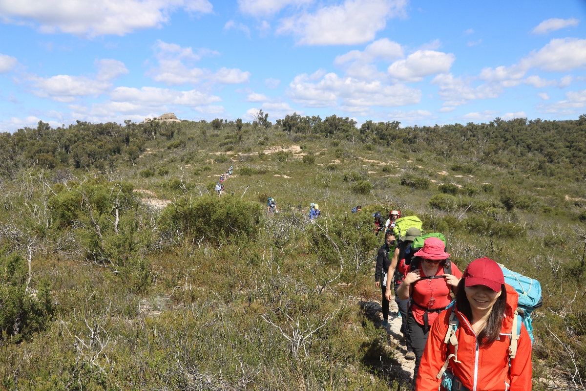
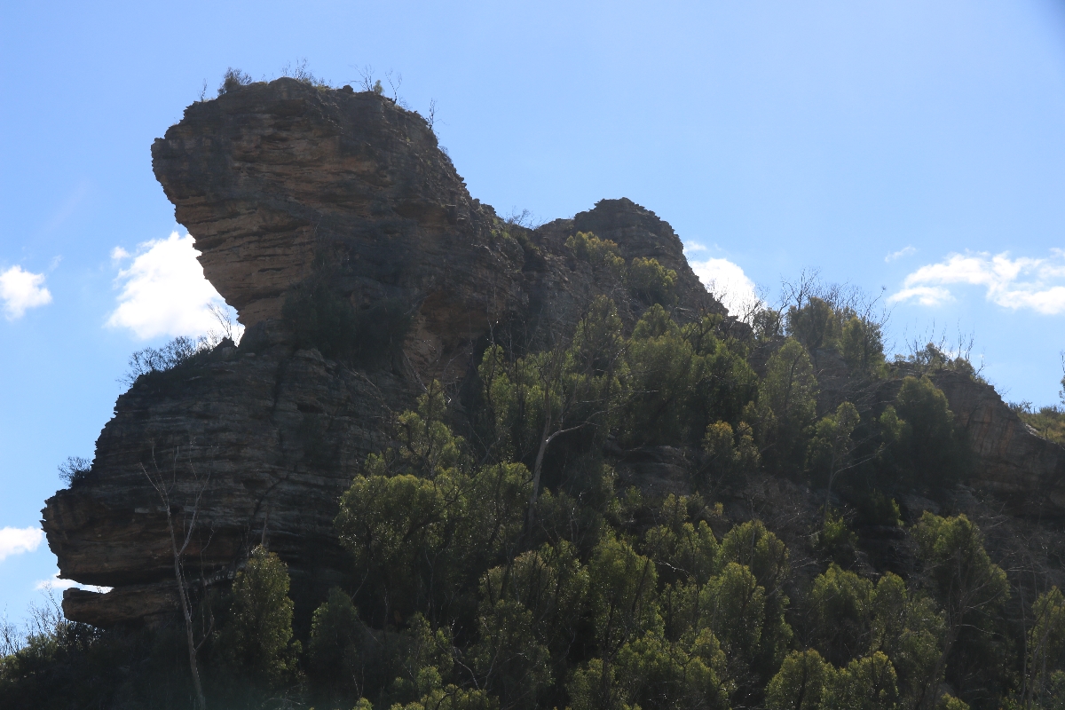
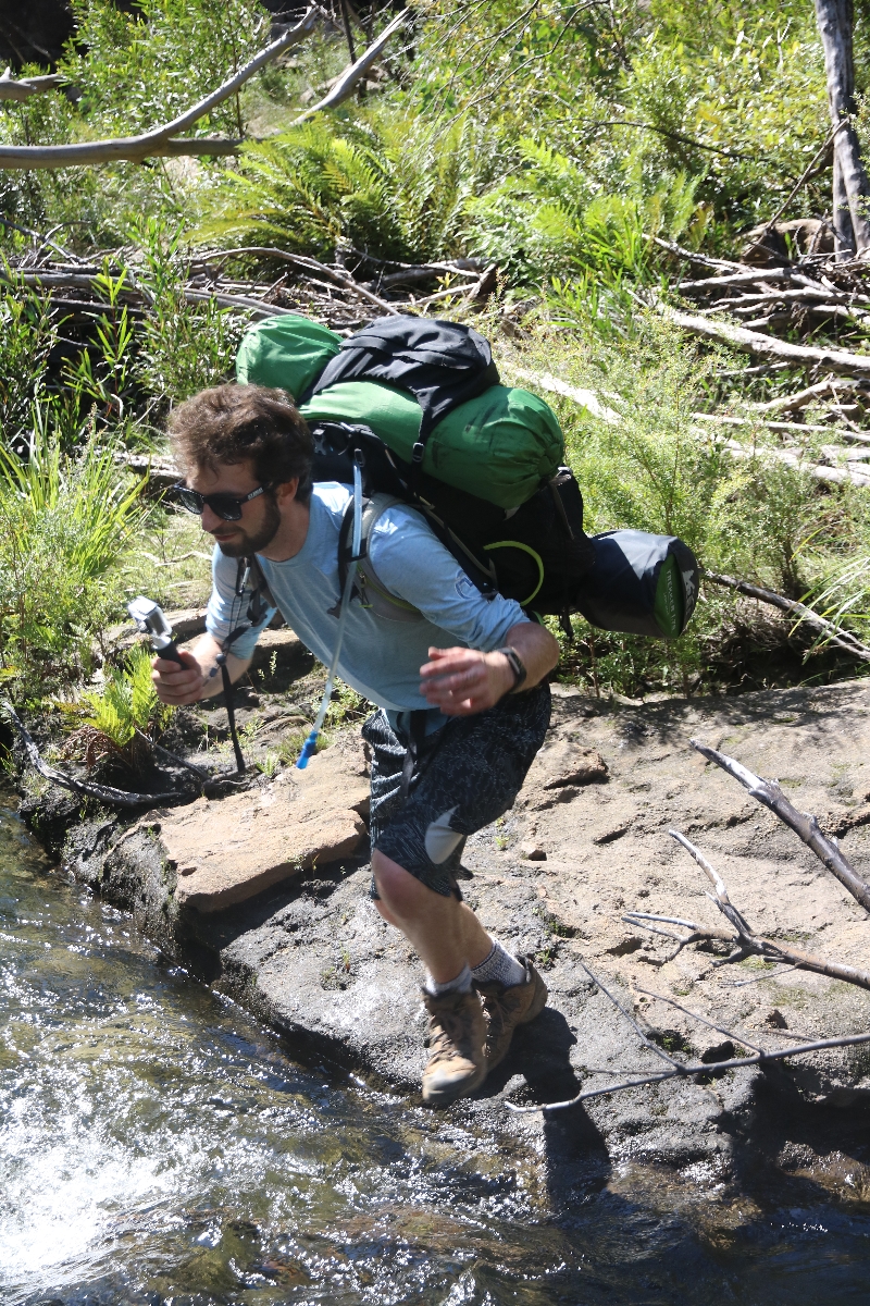
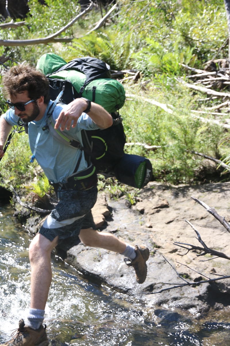
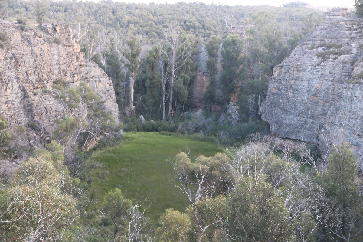
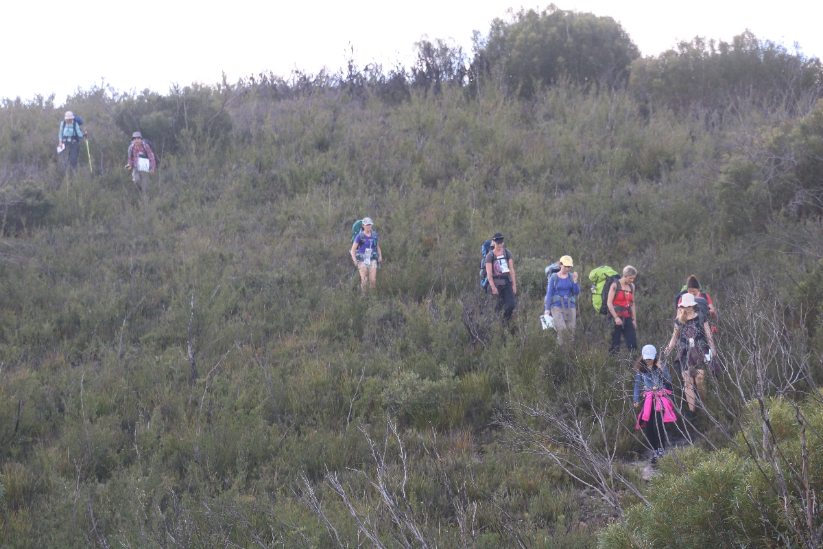
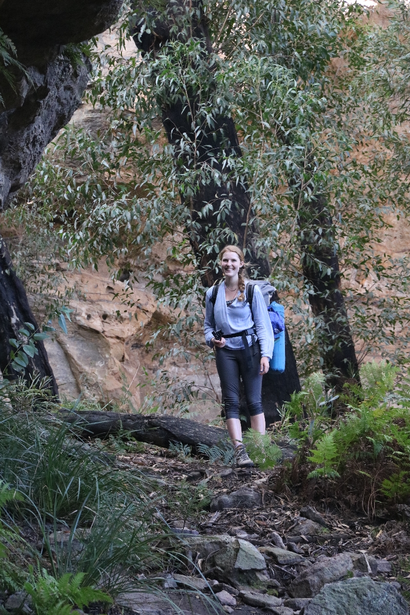
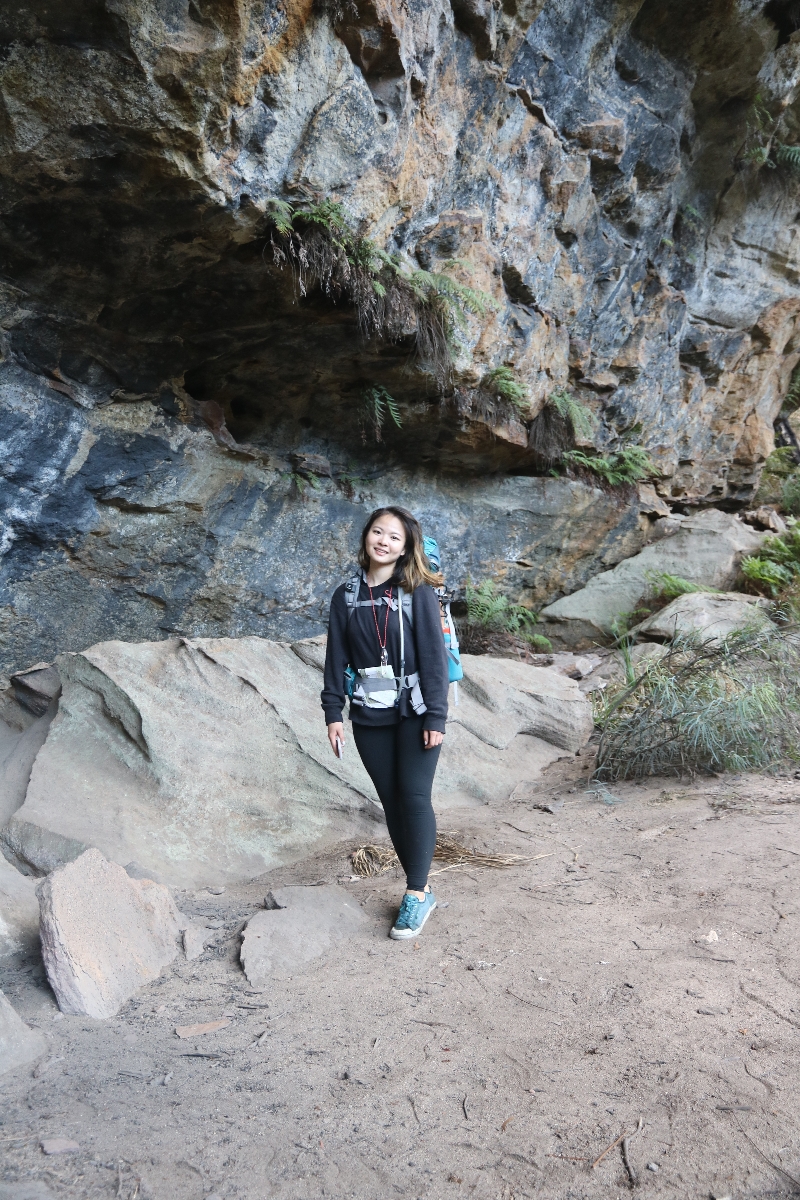
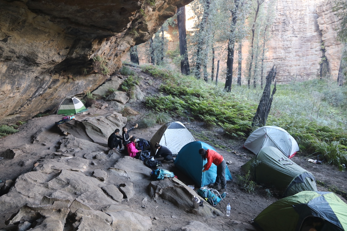
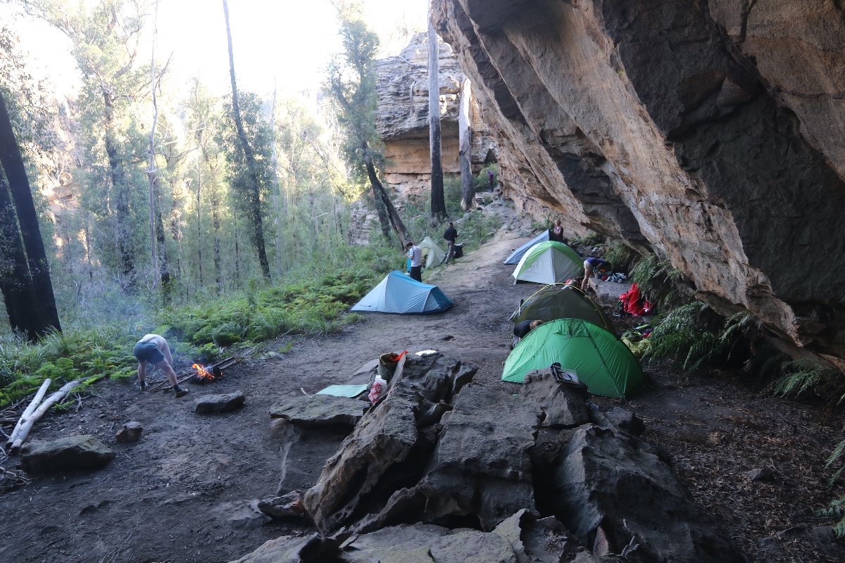
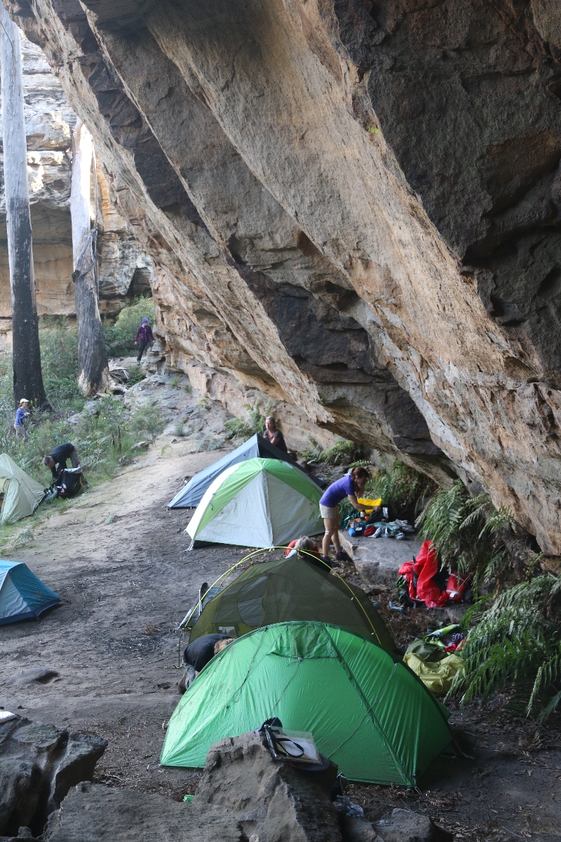
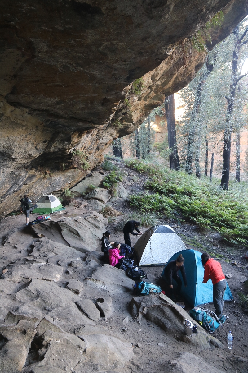
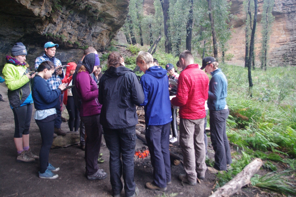
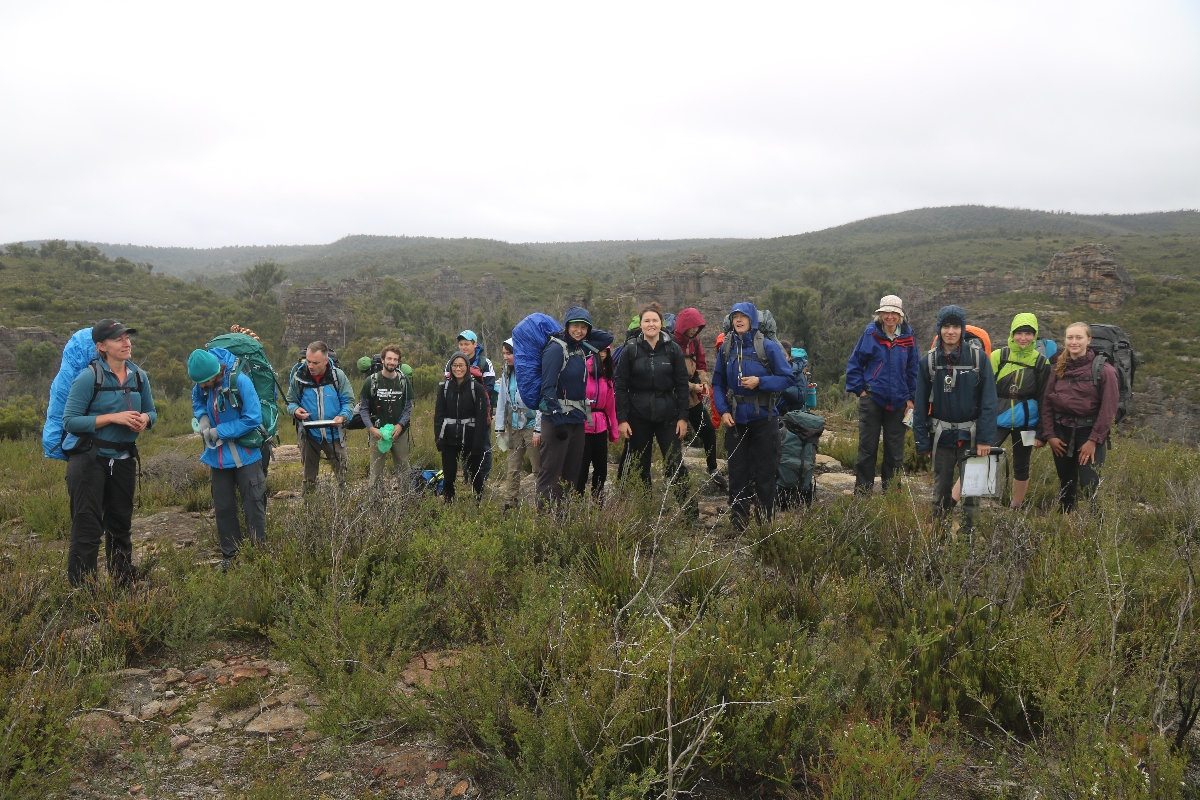
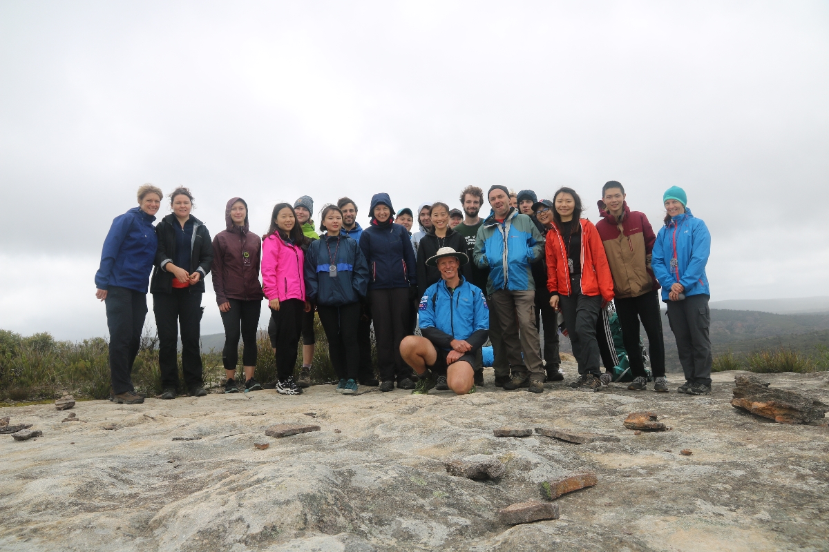
Every year I run a 2 day navigation weekend in the Blue Mountains. On this weekend we put into practise all the skills that I have tried to present on my online navigation tutorial. We hike into an area where there are few trails or roads, but panoramic views of the surrounding area. We learn to use the compass and work our way through the bush - not following any track for much of the way - and by these means navigate to a place of amazing sandstone formations where we enjoy a great night camping and socializing around the campfire.
Here are some photos from the Apr 2017 navigation weekend.
 |
|
|
|
|
|
 |
|
 |
|
 |
|
 |
|
 |
|
 |
|
 |
|
 |
|
 |
|
 |
|
 |
|
 |
|
 |
|
 |
|
 |
|
 |
|
 |
|
 |
This web page created on 2 Apr 2017, last updated 02 Apr 2017. All content copyright © Ashley Burke 2017. Not to be copied, duplicated or used for any purpose without permission. |