The Slovenska Planinska Pot (the Slovenian High Route)
Stage 8
All content copyright © Ashley Burke 2010. Not to be copied, duplicated or used for any purpose without permission.
The Slovenska Planinska Pot (the Slovenian High Route) Stage 8
All content copyright © Ashley Burke 2010. Not to be copied, duplicated or used for any purpose without permission. |
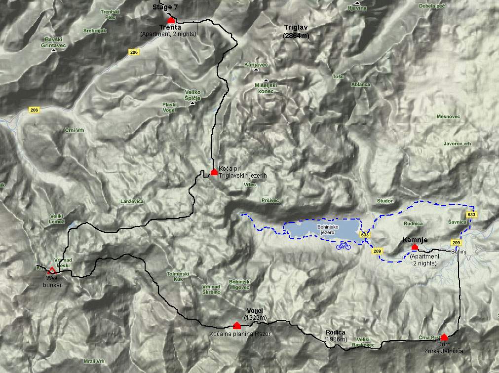
Map of Stage 8
Stage 8 - The Southern Julian Alps
15 - 20 Jul 2010
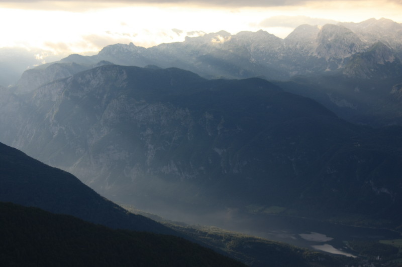
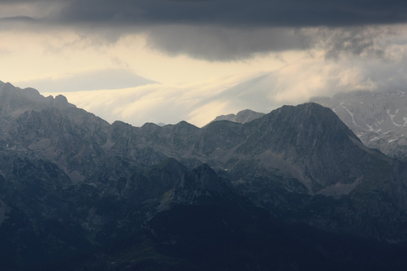
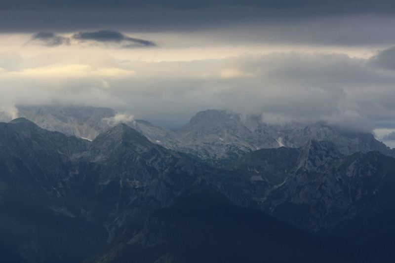
Stage 8 was another high mountain stage but less serious than Stages 3, 6 or 7, with no via ferrate of serious difficulty. The Julian Alps describe a sweeping arc around the lake Bohinjsko Jezero and Stage 8 covers the western and southern parts of this arc. These parts of the Julian Alps are not as high or rugged as the area around Triglav but they are nevertheless still mountainous, beautiful and well worth visiting.
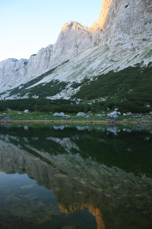
The first day or two of Stage 8 pass by small alpine lakes, a rarity in these limestone mountains. The geology of limestone is such that surface water is rare. These lakes are actually connected by underground acquifers.
Much of Stage 8 is of great historical interest because these ranges were a World War I battleground and the relics of battle are still to be seen in these mountains. There are the remains of army barracks, tunnels, bunkers and rock walls that were built as soldiers' defensive positions. In places barbed wire and fragments of shell casings can be found.
On the night of 16 July we had to make use of one of these WW1 defensive positions for accommodation, because we arrived the hut on the summit of Krn (2182m) late in the day only to find it partly demolished and closed for renovations. So we had no choice but to seek out a comfortable looking WW1 bunker and bunk down there for the night. Apart from a little dew on our sleeping bags, we were able to enjoy a comfortable night. Hats off to the WW1 diggers!
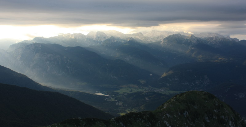
It took us four days to trek from Trenta to Črna Prst, the terminal peak of the southern Julian Alps. It was here that we departed from the official route for the last time. Here the route turns southwards and exits the mountains at the pass of Petrovo Brdo where Stage 8 ends. For us it served no purpose to go to Petrovo Brdo so from Črna Prst we turned north instead of south, and concluded our trek in the town of Bohinjska Bistrica. Here we had a spare day to hire bikes and enjoy this picturesque valley and its beautiful lake Bohinjsko Jezero.
Here was our itinerary:
| 15 Jul 2010 | A hot humid day, and quite a long walk through limestone karst country. From Trenta we climbed up into the mountains, had lunch at Zasavaska koca (2071m), then walked on past mountain lakes and through confusing karst country to eventually reach Koča pri Triglavskih jezerih (1685m). Many other groups including a large scout group were cooking their own food outside the hut so we did the same. |
| 16 Jul 2010 | Another hot day, some parts of the walk were not particularly interesting but some interesting WW1 barracks and relics were seen on the way. The scenery greatly improved once we reached the lake Krnsko jezerih, and the climb of Krn (2182) was spectacular and beautiful. We found the hut on the summit of Krn, called Gomickovo zavetice closed and partly demolished for renovation so we retreated to the nearby saddle of Krnska škrbina (2058m) where there were some WW1 army bunkers and we sheltered there for the night. |
| 17 Jul 2010 | Interesting WW1 battlements as we followed a route through complex country on the southern side of main mountain range, heading east. Then the day became hot, dry and rather dull and uninteresting walking as the track continued sidling around the mountain range until we finally reached a dairy farm and Koča na planina Razor (1315m). Lunch was had at a remote and unoccupied building on the side of the range. |
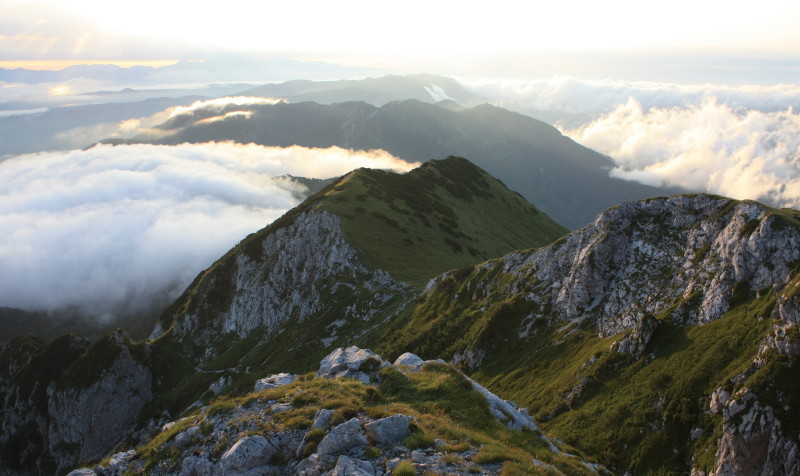
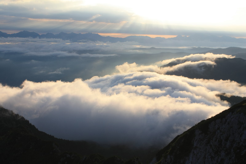
| 18 Jul 2010 | The first day of really bad weather on the whole trip. Strong wind, low cloud and periods of rain. Traversed the top of the mountain range to its south-eastern extremity at Črna Prst. Climbed the peaks of Vogel (1922m) and Rodica (1966m) on the way. Spectacular despite the bad weather. Reached Dom Zorka Jelnčiča on the summit of Črna Prst (1844m) . Improving weather for dramatic sunset photos. |
| 19 Jul 2010 | Cold clear day. Descended to Bohinjska Bistrica where our trekking concluded. Found an Apartment in Kamnje. Enjoyed a restful afternoon and fresh food. |
| 20 Jul 2010 | Borrowed bikes, rode to Bohinjsko Jezero, swam in the lake, explored the valley and environs by bicycle. Returned to the apartment in Kamnje. |
| 21 Jul 2010 | Train to Jesenice and connecting trains back to Maribor. |
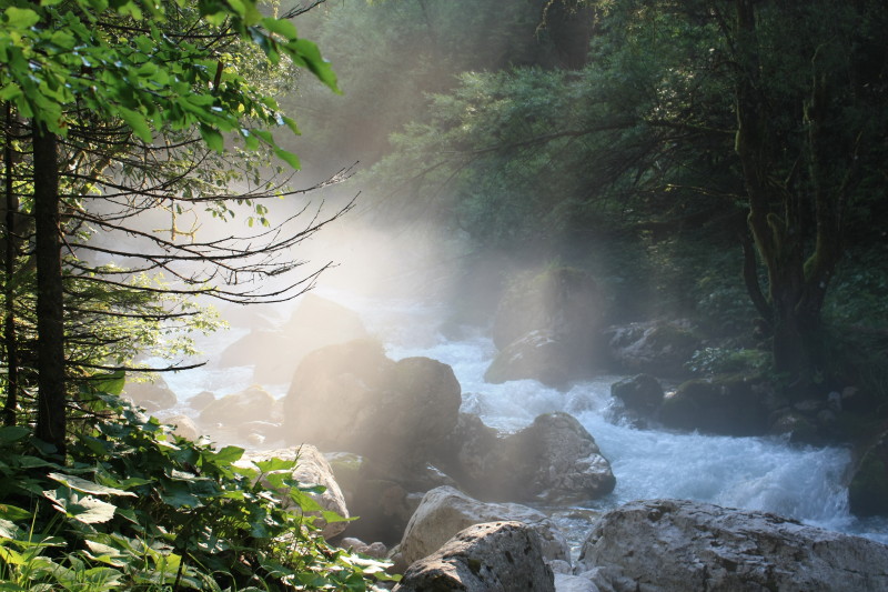
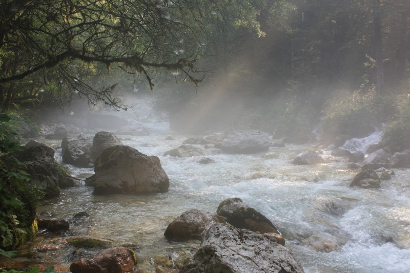
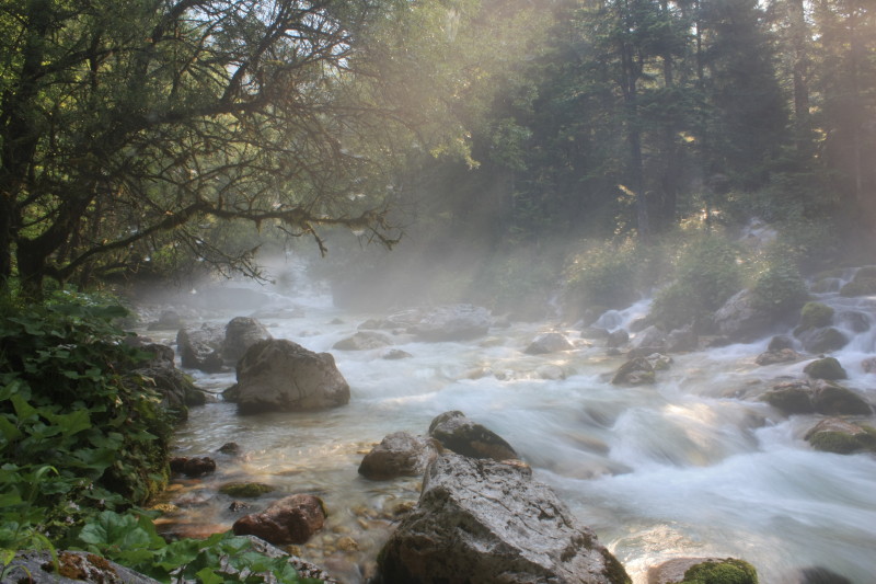
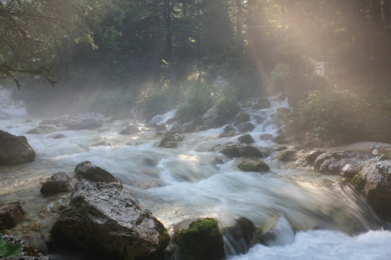
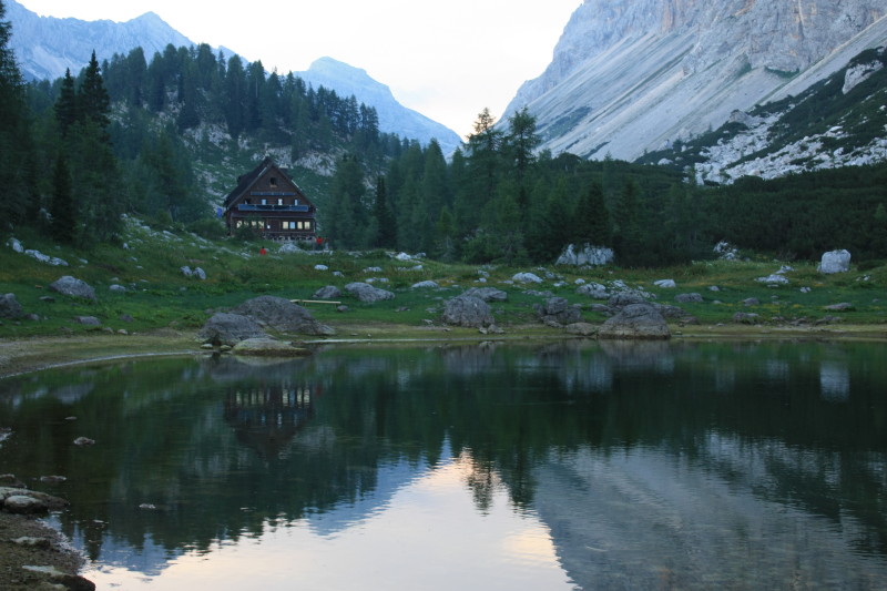
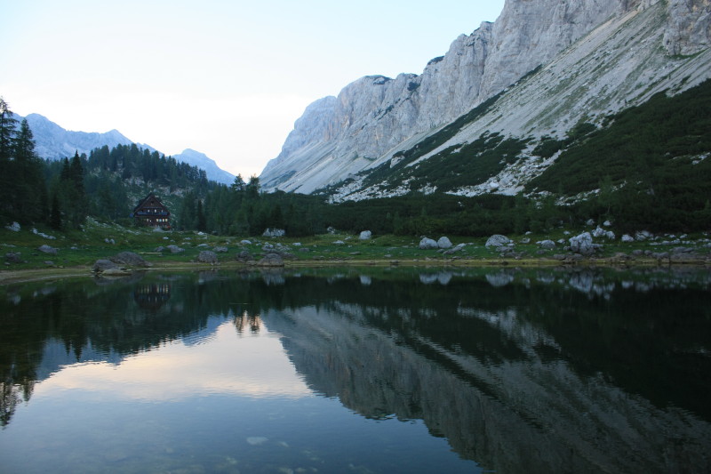
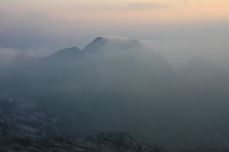
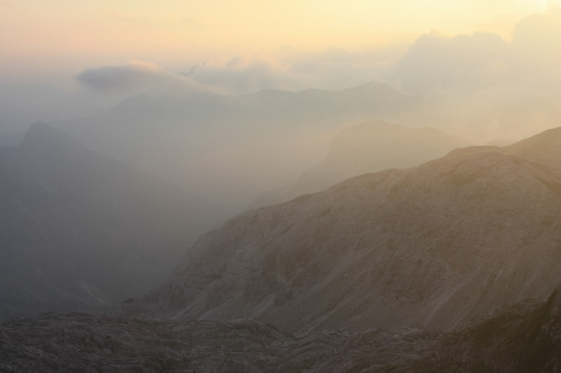
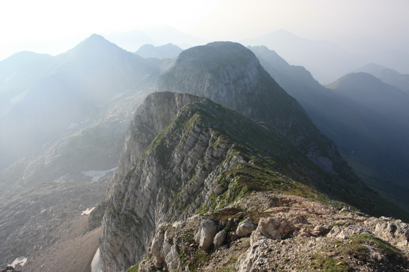
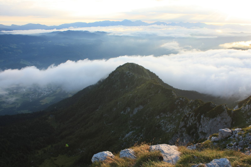
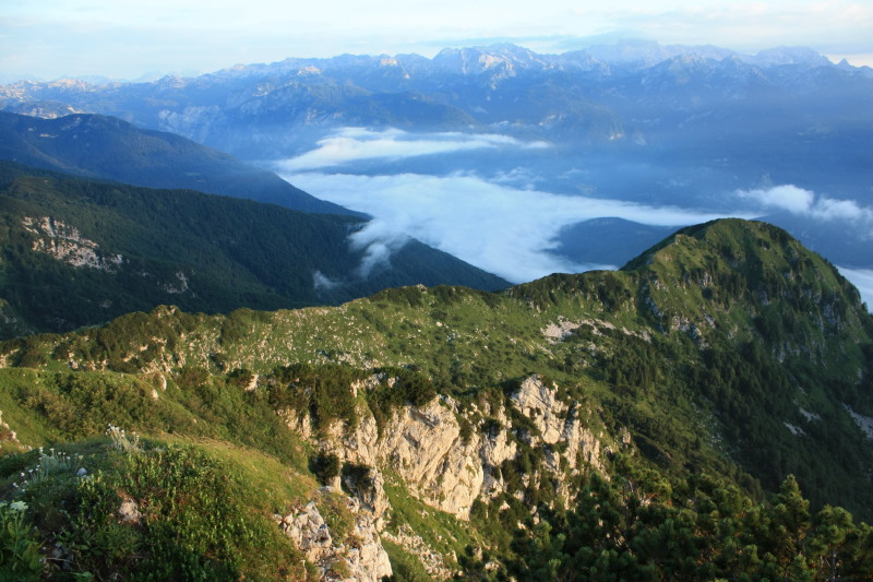
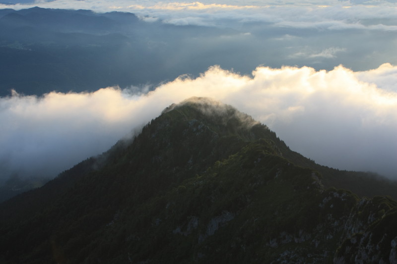
Below are the photos from Stage 8.
 |
|
 |
|
 |
|
 |
|
 |
|
 |
|
 |
|
 |
|
 |
|
 |
|
 |
|
 |
|
 |
|
 |
|
 |
|
 |
|
 |
|
 |
|
 |
|
 |
All content copyright © Ashley Burke 2010. Not to be copied, duplicated or used for any purpose without permission. Page created 27 Sep 2010, last updated 27 Sep 2010. |