The Slovenska Planinska Pot (the Slovenian High Route)
Stage 5
All content copyright © Ashley Burke 2010. Not to be copied, duplicated or used for any purpose without permission.
The Slovenska Planinska Pot (the Slovenian High Route) Stage 5
All content copyright © Ashley Burke 2010. Not to be copied, duplicated or used for any purpose without permission. |
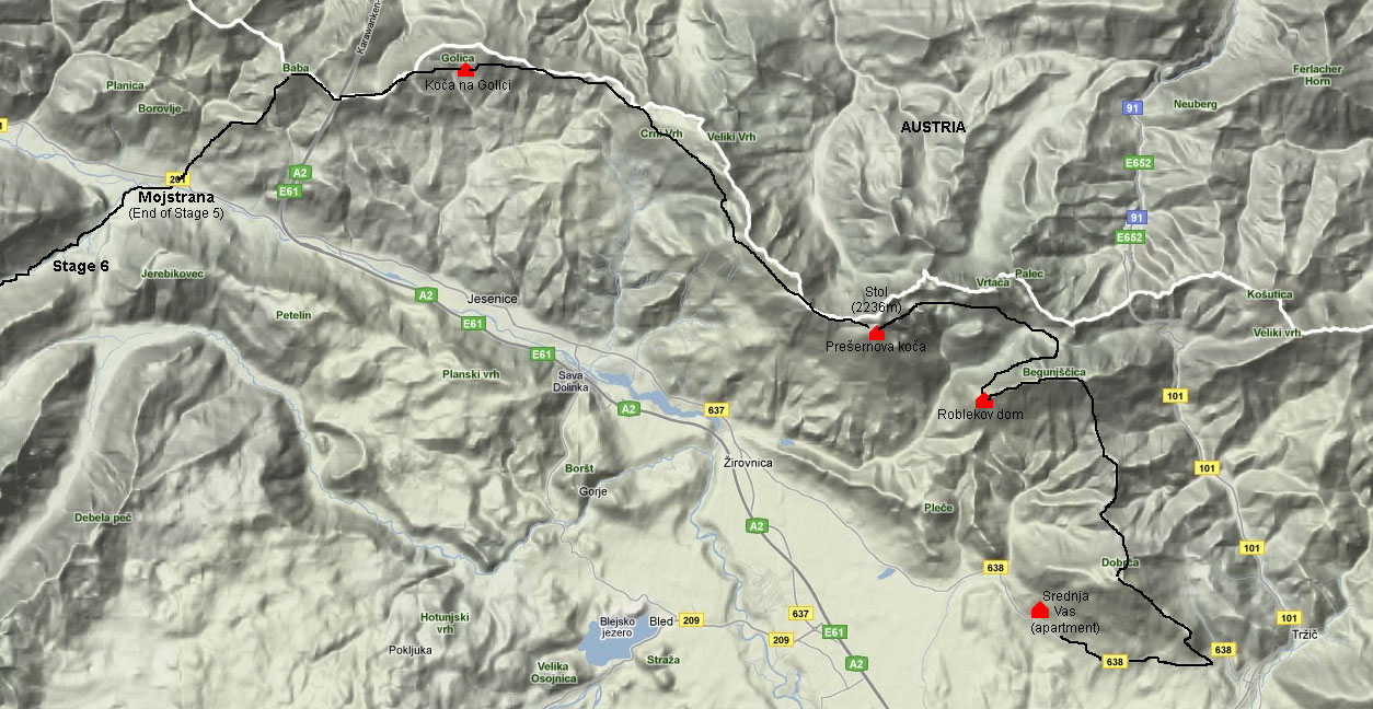
Map of Stage 5
Stage 5 - Srednja Vas to Mojstrana
5 - 8 Jul 2010
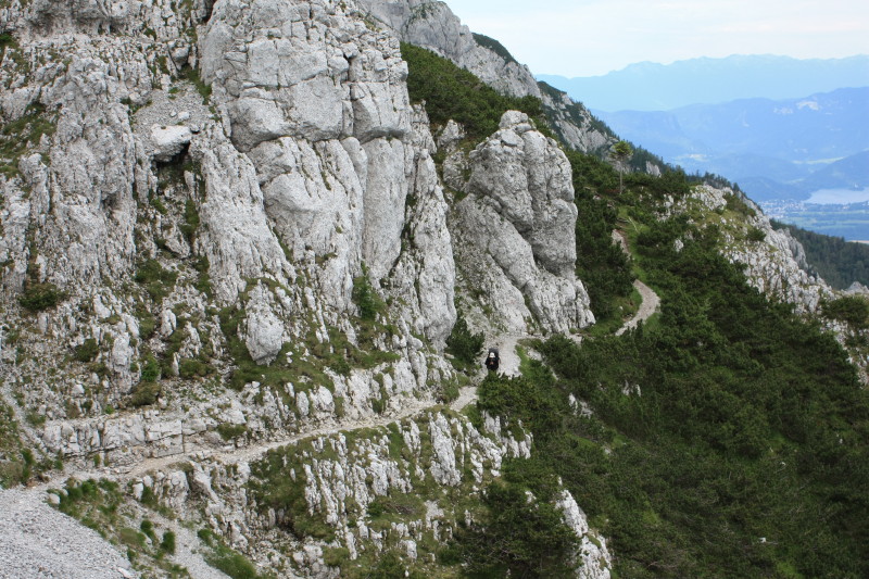
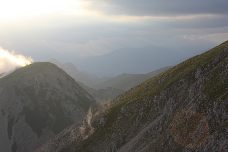
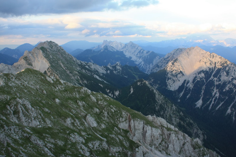
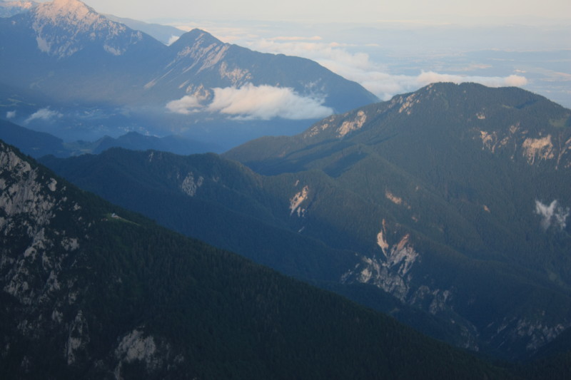
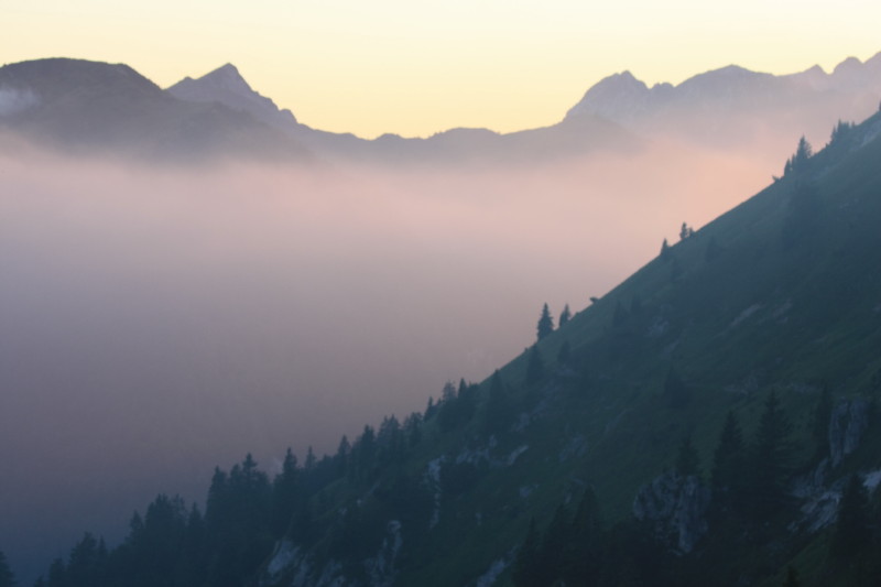
From our apartment in Srednja Vas it was a 3km walk on the road to Brezje, a village in the hills above Tržič where we rejoined the high route. This stage took us about three and a half days to complete. Whilst this stage was not as high or as mountainous as Stage 3 or Stages 6-8 it can nevertheless be described as alpine and sub-alpine. The highest point in this stage is the peak of Stol (2236m) and we stayed in a hut located just metres below the summit. The route essentially follows a range westwards along the Slovenian / Austrian border, and because the trail keeps high on the ridge for much of the time, this stage provided expansive views in both directions - southwards to the Sava valley in Slovenia and northwards to the Drava valley of Austria. Below is summarised our trip log for the four days spent on Stage 5.
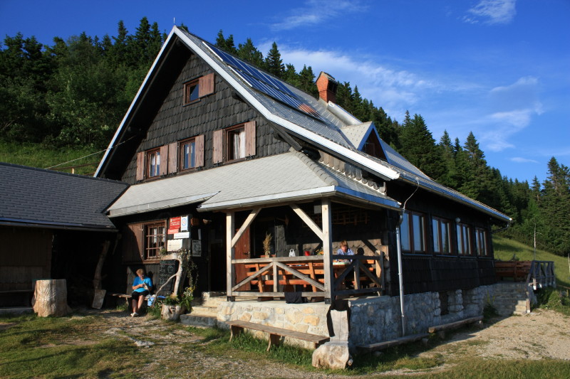
| 5 Jul 2010 | A long and tiring day of mainly forest walking in gradually improving weather. An unrelenting climb through forest to finally reach the summit of Begunjcica (2060m) from where it was a pleasant ridgetop descent to Roblekov Dom (1657m) where we sat outside in the sunshine and cooked our dinner with expansive views. |
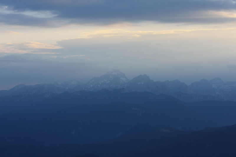
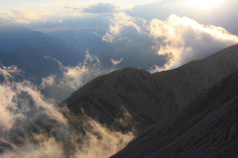
| 6 Jul 2010 | A short day in bad weather, in which we advanced to Prešernova koča (2174m) located just below the summit of Stol (2236m). Spent some of the afternoon sheltering from the bad weather in this hut. Later in the evening the weather improved and the sun came out at sunset. |
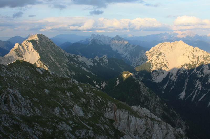
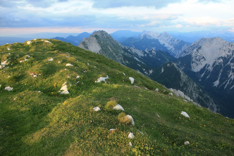
| 7 Jul 2010 | An easy and pleasant day of walking along the ridge following the Austrian border. A northerly wind was blowing, rendering the steep Austrian side of the range clear whilst cloud clung to the gentler Slovenian side. We stayed at Koča na Golici (1582m) where we arrived by mid-afternoon. |
| 8 Jul 2010 | A day of perfect weather and a long day of walking. We continued along the range, losing altitude until we descended south-east off the range, passed through the quiet village of Dovje, crossed the river and walked into Mojstrana where Stage 5 concludes. Here we bought supplies at the local supermarket and started on Stage 6, walking up the Vrata valley into the Triglav National Park and Aljažev Dom (1015m). |
Below are the photos from Stage 5.
 |
|
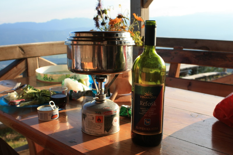 |
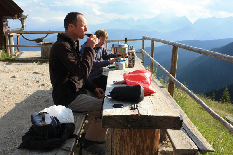
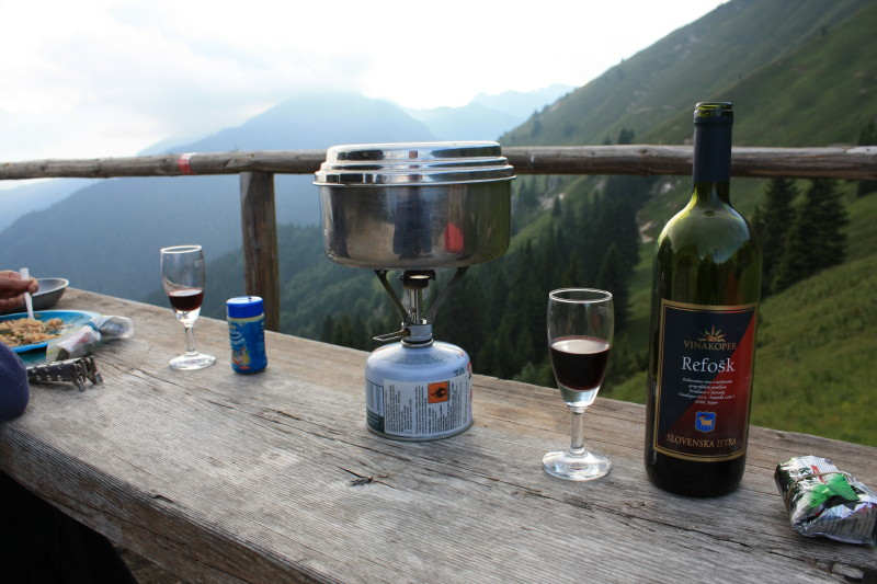
Refok is the local red, cheap and plentiful. |
 |
|
 |
|
 |
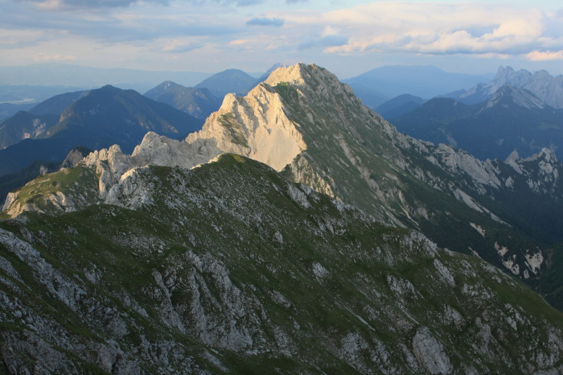
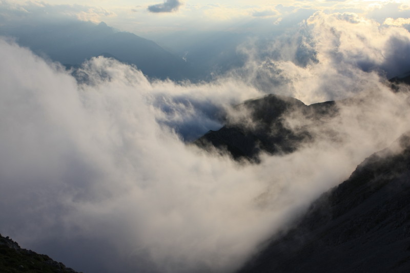
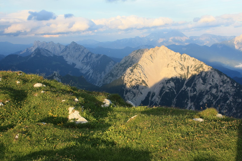
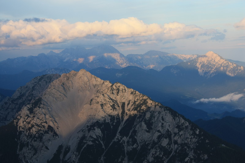
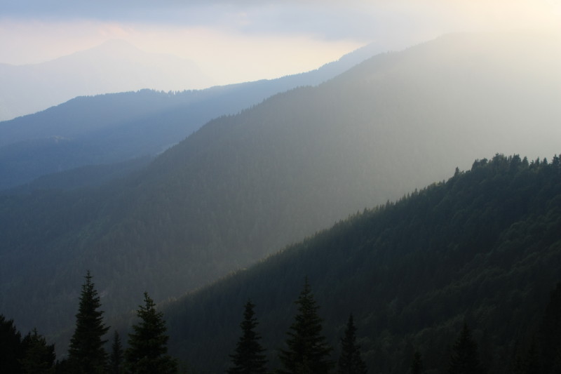
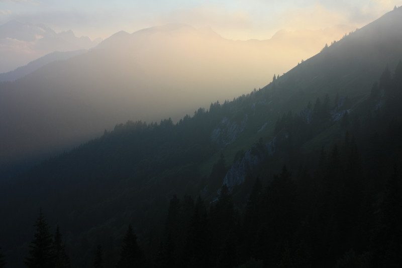
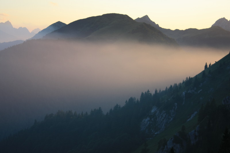
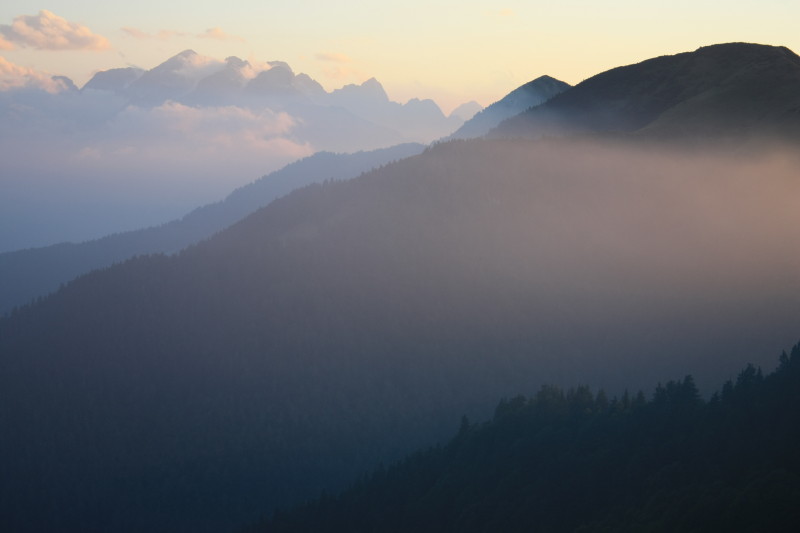
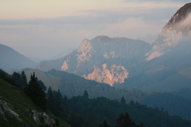
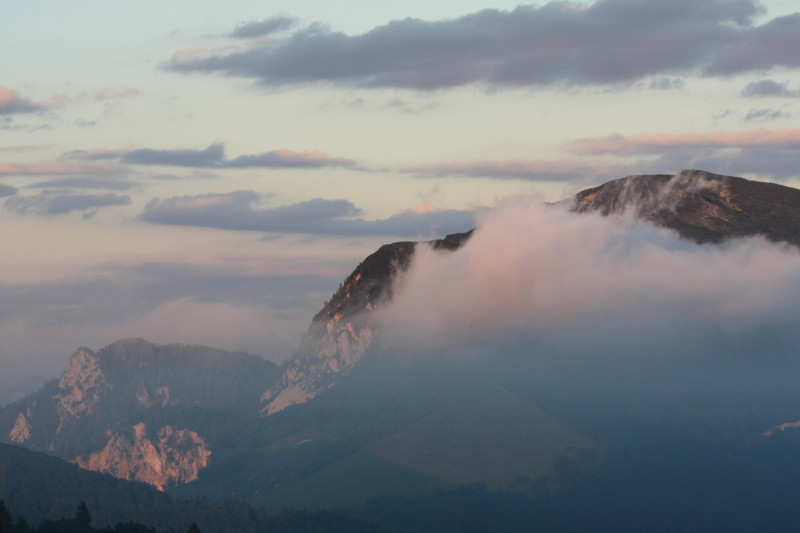
We had arrived earlier in the afternoon in poor weather, but by evening the weather had improved enough to go out and take some photos. |
 |
|
 |
|
 |
|
 |
|
 |
|
 |
|
 |
|
 |
|
 |
|
 |
|
 |
|
 |
|
 |
|
 |
|
 |
|
 |
|
 |
|
 |
All content copyright © Ashley Burke 2010. Not to be copied, duplicated or used for any purpose without permission. Page created 26 Sep 2010, last updated 26 Sep 2010. |